What is recorded here
Fairy forts are no such thing. They are human made, often old, and still useful to remember. This is an earthen ring in open farmland, not a fantasy trap. The ground itself records the shape: a raised oval, a broken bank, and a narrow strip of excluded earth. People lived, worked, or marked boundary there before surveys gave it a number. The fairies are only the part the mind invents when it refuses to imagine ordinary humans.
In good, gently undulating pasture, on low ridge bordered by Annagh Loughs to S-SW and by the Mannin River at E−SE.
This is one of two conjoined raths. The other rath (MA093-040----) lies at a slightly lower elevation, immediately to SSE.
Slightly raised oval area (50.5m NW–SE; 39.5m NE–SW) defined by a levelled bank (H 0.5m at E; 1.4m at W) which survives as a low, poorly defined scarp or undulation. The rath straddles a natural undulation or rise, utilising the natural fall of ground to NE. The interior has a slight slope down from centre to NW−N and to SW. It is crossed by remnants of a field bank (Wth 1.3m; H 0.2m) which extends through the NE quadrant on a NNE–SSW axis, then turns to the W through the centre and continues beyond the rath to the SW.
Grass cover with a few hawthorn bushes on the perimeter. There is another rath (MA093-041----) c. 200m to N.
Compiled by: Jane O’Shaughnessy
Date of upload: 23 June 2022
The monument record does not grant public access. Check the route and ask the landowner before entering private land.
- What survives
- Recorded monument
Places near here
 IndicatedFairy fort / earthen ringfort · 58 yd
 Enclosure in KilmanninEnclosure · 1207 yd
 Ballyhaunis Courthousecourt house · 1.1 mi
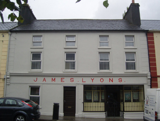 James Lyonshotel · 1.1 mi
 CastleCastle, unclassified · 1.4 mi
 Rath Castle in ruinsCastle, tower house · 4.7 mi
 East Mayo Brigade MonumentMemorial · 6.6 mi
 Kiltimagh MuseumMuseum · 10 mi
 Land of the GiantsHeritage attraction · 10 mi
 Oak WoodForest · 10 mi
 I'll Send You The FareMemorial · 10 mi
 Geoffrey's WoodForest · 11 mi