
What is recorded here
In good, gently undulating pasture, located on alow ridge bordered by Annagh Loughs to S-SW and by the Mannin River at E−SE.
This is one of two conjoined raths. The other rath (MA093-042----) lies at a slightly higher elevation immediately to NNW.
Slightly raised, roughly circular area (47.6m N–S; 50.5m E–W) defined by a scarp (H 0.2-0.3m), The scarp has been partly levelled but retains a slight internal lip at NE and SE. Outside the scarp it is enclosed by a fosse (Wth 2.2m; ext. D 0.4m), largely infilled at E. The fosse appears relatively narrow for most of its circuit, but it expands in width (Wth 2.7m) at NNW at the point where it intervenes between the two raths.
The rath interior is relatively level, but with a few undulations conforming to the natural slope of the land, notably a gently raised undulation at ESE–SE where the bank overlies a natural rise, and a marked slope down from the centre to the SW in the SW quadrant.
Grass cover, with a few hawthorn bushes around the perimeter. There is another rath (MA093-041----) c. 200m to N.
Compiled by: Jane O’Shaughnessy
Date of upload: 23 June 2022
A local fairy fort (ringfort/rath); wider significance not recorded.
The monument record does not grant public access. Check the route and ask the landowner before entering private land.
- What survives
- Recorded monument
Places near here
 Enclosure in KilmanninEnclosure · 1152 yd
 Ballyhaunis Courthousecourt house · 1.1 mi
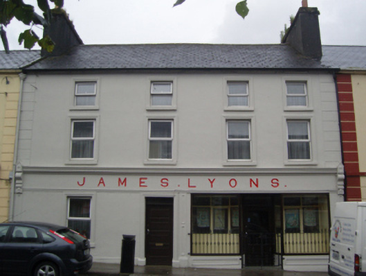 James Lyonshotel · 1.1 mi
 CashelFairy fort / stone ringfort · 1.1 mi
 CastleCastle, unclassified · 1.5 mi
 Rath Castle in ruinsCastle, tower house · 4.7 mi
 East Mayo Brigade MonumentMemorial · 6.6 mi
 Kiltimagh MuseumMuseum · 10 mi
 Land of the GiantsHeritage attraction · 10 mi
 Oak WoodForest · 10 mi
 I'll Send You The FareMemorial · 10 mi
 Geoffrey's WoodForest · 11 mi
Other information
Photo: Credit not shown in the picture search · Rights wording not checked; contact us if this picture should be removed