
What is recorded here
In a wooded area on a SE-facing slope and within the SW sector of a burial ground (GA125-050001-). A monumental structure (GA125-050004-) lies immediately to its E. On inspection in May 1983, this natural spring well (Wth 1m; D 0.6m) was delimited to the N by a massive limestone boulder and to the E and W by overgrown drystone walls (W wall: H c. 0.9m). The bottom of the well was covered with mud. The spring fed a stream, running E-W to its S, through a channel into which a number of boulders had fallen. The monument to the E was erected by Edward Mullen. According to local information, the well had been looked after by Edward, who lived nearby in a house to the NE, and he built the monument beside it during his lifetime. There is also a ruined building (GA125-05003-) in the NE sector of the burial ground.
On re-inspection in March 2010, the interior of the burial ground was extensively poached and had greatly deteriorated, including the area around the holy well. (O’Flanagan 1927, Vol. 2, 517)
The following image has been uploaded: GA125-050002-_04.jpg View of poached area around well
Compiled by: Galway Archaeological Survey, UCG
Updated by: Olive Alcock
Date of revised upload: 24 July 2023
Ladys Well, Cuilleendaeagh is traditionally associated with a local saintly figure or lady, common in Irish holy well lore, often linked to healing or fertility. The well’s location near a burial ground and a monumental structure suggests a long history of ritual or spiritual significance, possibly pre-dating Christian tradition.
The monument record does not grant public access. Check the route and ask the landowner before entering private land.
- What survives
- Recorded monument
Places near here
 Country house in BallynagarCountry house · 195 yd
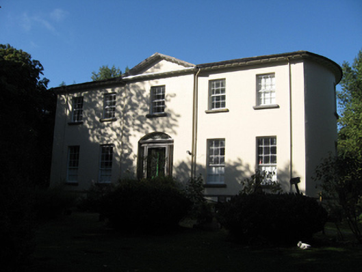 Ballynagar Housecountry house · 199 yd
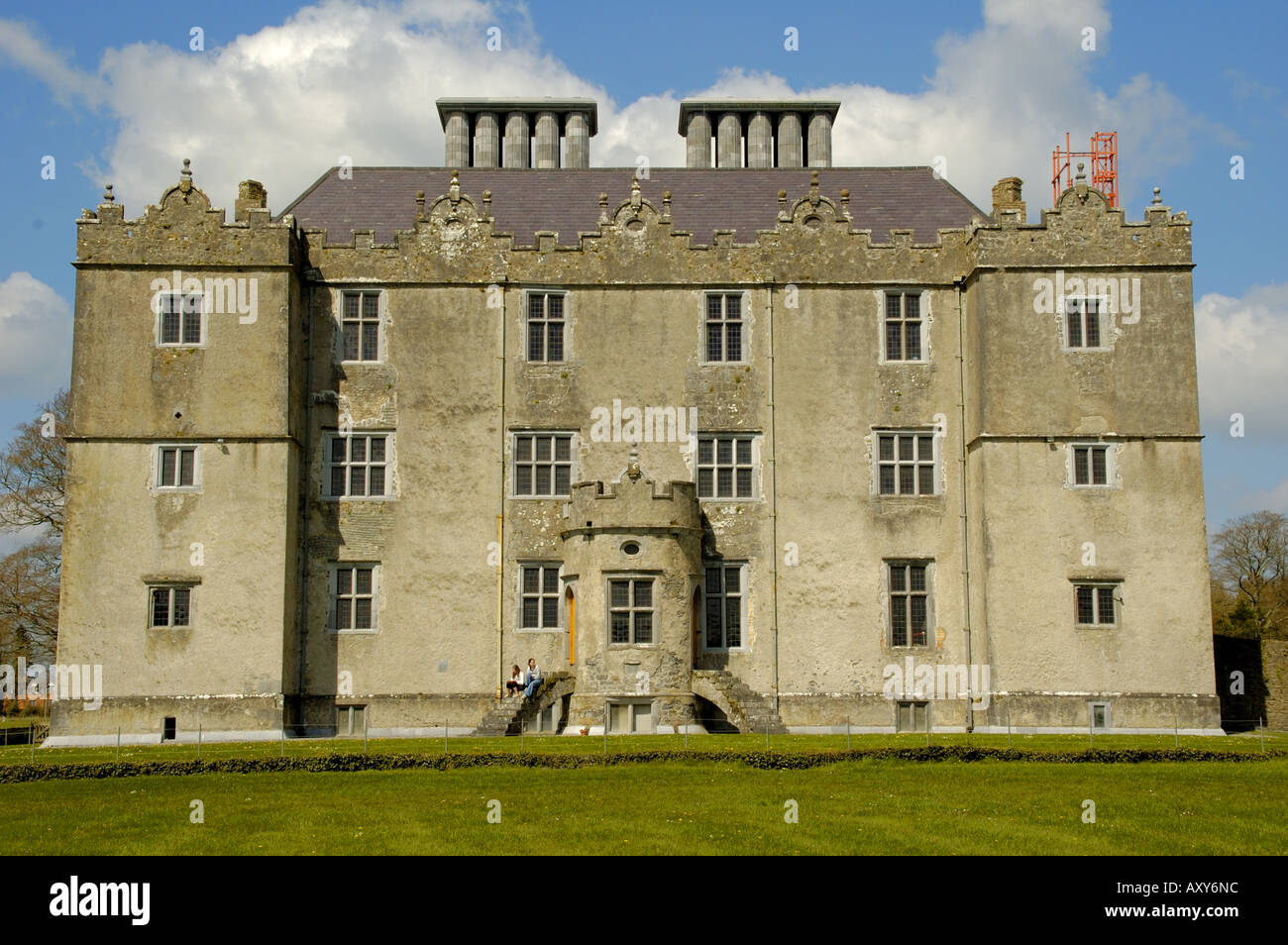 Enclosure in Cappaghcon EastEnclosure · 884 yd
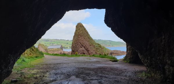 CavesMan-made underground passage · 1689 yd
 Coolfin Castle (in ruins)Castle, tower house · 2.1 mi
 Site of CastleCastle, unclassified · 3.0 mi
 Oak WoodForest · 3.7 mi
 Bog WoodForest · 3.9 mi
 TullymoreMountain / peak · 5.0 mi
 Friar's IslandIslet · 5.3 mi
 Abbey IslandIslet · 5.4 mi
 Stonyisland BayBay · 5.6 mi
Other information
Photo: Credit not shown in the picture search · Rights wording not checked; contact us if this picture should be removed