
What is recorded here
In a tree copse on a SE-facing slope in undulating pastureland. Depicted on the 1838 edition of the OS 6-inch map as a rectangular burial ground with a pathway running N-S through its centre. A holy well, named ‘Lady’s Well’, (GA125-050002-) and a ‘Monument’ (GA125-050004-) were located in the SW sector. A small…
Read the whole record
From the National Monuments Service (Archaeological Survey of Ireland) record GA125-050001
Places near here
Photo credits
- National Inventory of Architectural Heritage
- Maker not stated on source page, www.pinterest.com
- Maker not stated on source page, commons.wikimedia.org
- Maker not stated on source page, www.dreamstime.com
- John M, Geograph · CC BY-SA 2.0
- Maker not stated on source page, www.gpsmycity.com
- Maker not stated on source page, mdf.advisor.travel
- Maker not stated on source page, monumentalireland.ie
- Maker not stated on source page, www.alamy.com
 Ballynagar HouseCountry house · 199 yd
Explorer Tom Ballynagar House in Ballynagar is all about those fancy curved end bays that make it look like a loaf of bread got an…
 Fairy fort / earthen ringfort in Gortnakilla (leitrim By.)Fairy fort / earthen ringfort · 524 yd
Explorer Tom Fairy fort / earthen ringfort in Gortnakilla is poorly preserved next to Danesfort House, looking like it lost a bet…
 Wedge tomb in Cregg (leitrim By.)Wedge tomb · 1244 yd
Explorer Tom Wedge tomb in Cregg had a fox take charge of the whole place once, and honestly he ran it better than we do. It’s…
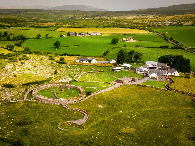 Fairy fort / earthen ringfort in Cuilleen (leitrim By.)Fairy fort / earthen ringfort · 1374 yd
Explorer Tom Fairy fort in Cuilleen is just a memory on a map now, sitting on a rise doing absolutely nothing. No trace survives…
 Fairy fort / earthen ringfort in Lissaniska (leitrim By.)Fairy fort / earthen ringfort · 1535 yd
Explorer Tom This one in Lissaniska smells like wet wool and ancient decisions, according to Tom’s highly scientific nose. A field…
 Saint Joseph's Catholic ChurchChurch/chapel · 1.2 mi
Explorer Tom Saint Joseph’s Catholic Church in Knockadrum nearly got famous when a famous politician accidentally parked his…
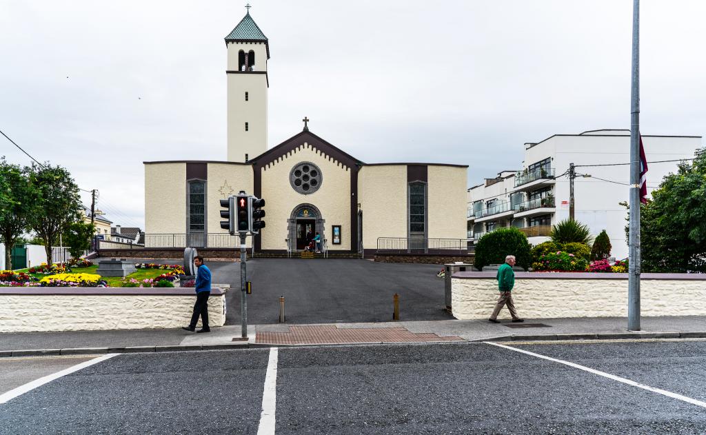 Catholic ChurchChurch · 1.2 mi
Explorer Tom Catholic Church in Knockadrum would tell its younger self to stop worrying about being recorded by the archive unit.…
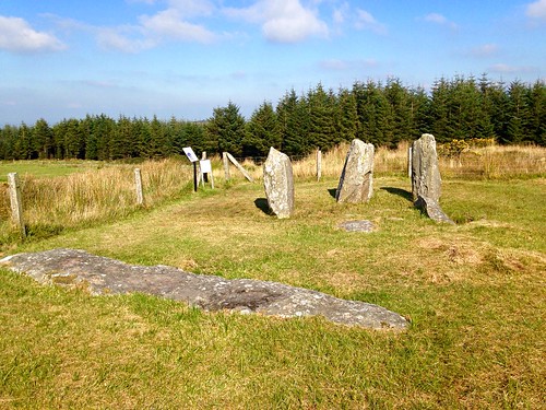 Bullaun stone (present location) in KnockadrumBullaun stone (present location) · 1.3 mi
Explorer Tom Bullaun stone in Knockadrum’s New Year’s resolution was to stop getting moved around so much by people with bad ideas.…
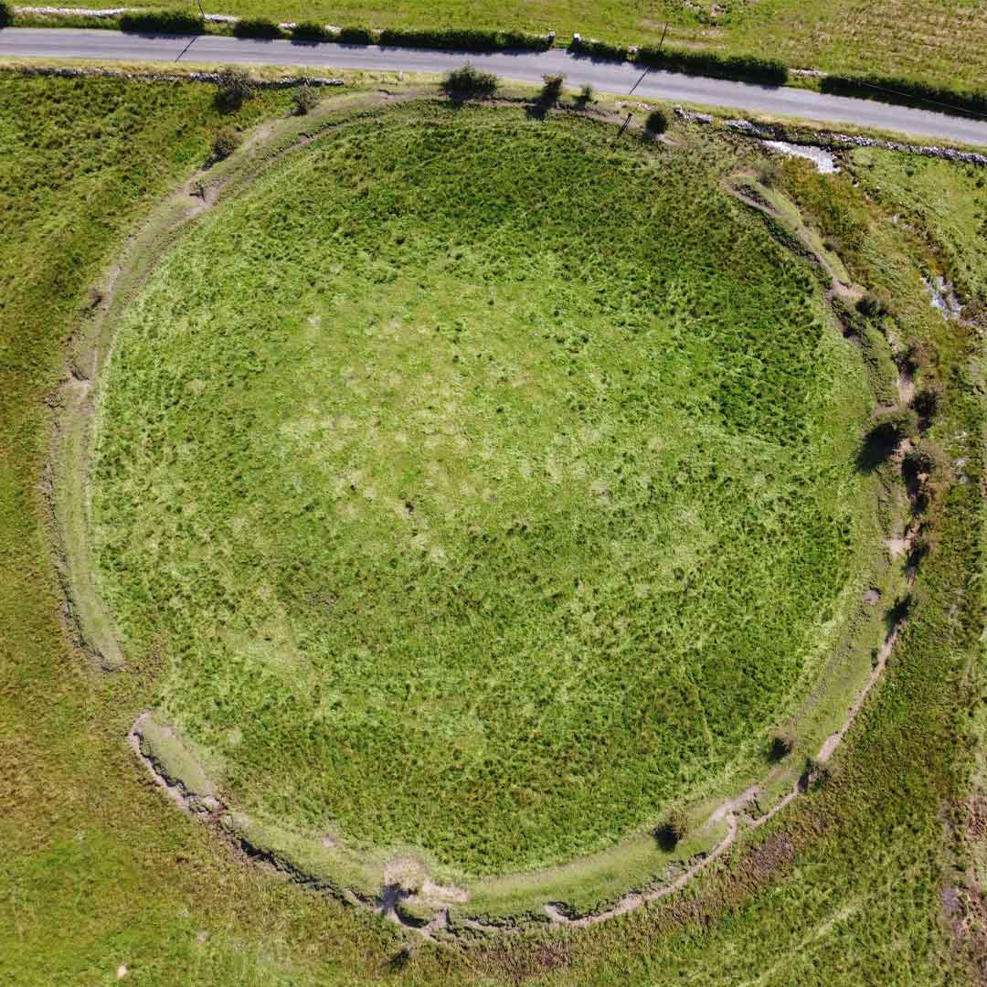 Fairy fort / earthen ringfort in Loughpark (leitrim By.)Fairy fort / earthen ringfort · 1.3 mi
Explorer Tom Fairy fort / earthen ringfort in Loughturk East has strong opinions on modern construction, mostly because it got…
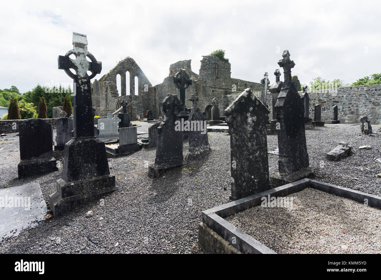 Mapped graveyardGraveyard · 1.3 mi
Explorer Tom Listen, this Mapped graveyard claims its family tree is mostly made up, with relatives who never existed popping up…
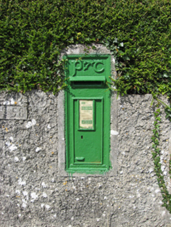 post box1.3 mi
Explorer Tom Post box in Clooneen is judging your handwriting from across the lane. Built for Irish Independence, it's still…
 Castle (in ruins)Castle, unclassified · 1.3 mi
Explorer Tom Castle in Clooneen has no official description, so I’m saying its name actually means 'The Place Where The Goat Ate The…
More archaeology and monuments in County Galway · All of County Galway

What do you know about this place?Tap to add a comment or ask a question