What is recorded here
Scotland's National Record of the Historic Environment records La Trinidad Valencera as Carrack (16th Century) (1586)-(1588), Obstruction (16th Century) (1586)-(1588), Sailing Vessel (by Form/type) (16th Century) (1586)-(1588). The official map says its point is accurate as follows: NGR given to the nearest 1m. The record does not by itself mean that the public may enter the place.
The historic-place record does not grant public access. Check current conditions and ownership before entering land or a building.
Places near here
 The Spanish Armada 1588Memorial · 665 yd
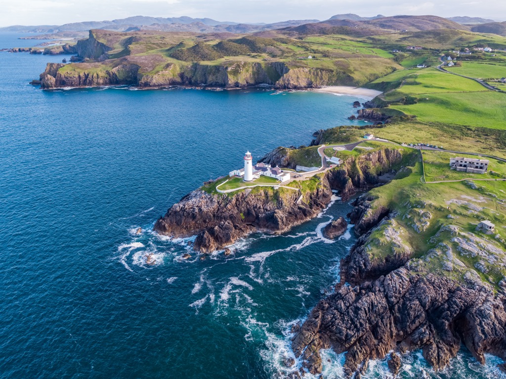 Glennagiveny Bay Cliff-Edge Fairy FortFairy fort / earthen ringfort · 1297 yd
 Rose Cottagehouse · 1.0 mi
 Claggan Bridgebridge · 1.1 mi
 Tremone BayBeach / strand · 2.5 mi
 CrockaulinMountain / peak · 2.8 mi
 Sweathouse in Carrowblagh OR LeckemySweathouse · 3.1 mi
 Cliffs, Inishowen HeadPublicly named cliff or headland · 3.6 mi
 Port a Dorais Cave and Natural DoorSea cave and natural arch · 3.7 mi
 StrooveOfficial bathing water · 3.9 mi
 Dunagree PointHeadland · 4.0 mi
 Greencastle Martello FortCastle · 4.1 mi