What is recorded here
In grassland atop low natural hillock overlooking river valley in upland region to W and higher ground to E. Church (TS055-046----) located 120m to SSE. Monument consists of a roughly rectangular-shaped area (int. dims. 33m N-S; 27m E-W) enclosed by a poorly preserved bank (base Wth 1.2m; top Wth 0.8m; int. H 0.1m ext. H 1m) mainly reduced to a scarp (H 0.8m) and outer fosse (base Wth 1.5m; top Wth 3m; ext. D 0.3m) with possible entrance gap (Wth 4m) at N. Semi-circular annexe (int. dims. 18m N-S; 20m E-W) to S defined by a low earthen bank (base Wth 3m; top Wth 1.5m; ext. H 0.2m) with traces of an outer fosse which runs off SW corner of moated site. Depicted as an oval-shaped enclosure on 1840 ed. OS 6-inch map.
Compiled by: Jean Farrelly
Date of upload: 26 August 2011
The monument record does not grant public access. Check the route and ask the landowner before entering private land.
- What survives
- Recorded monument
Places near here
 Site of ChurchChurch · 130 yd
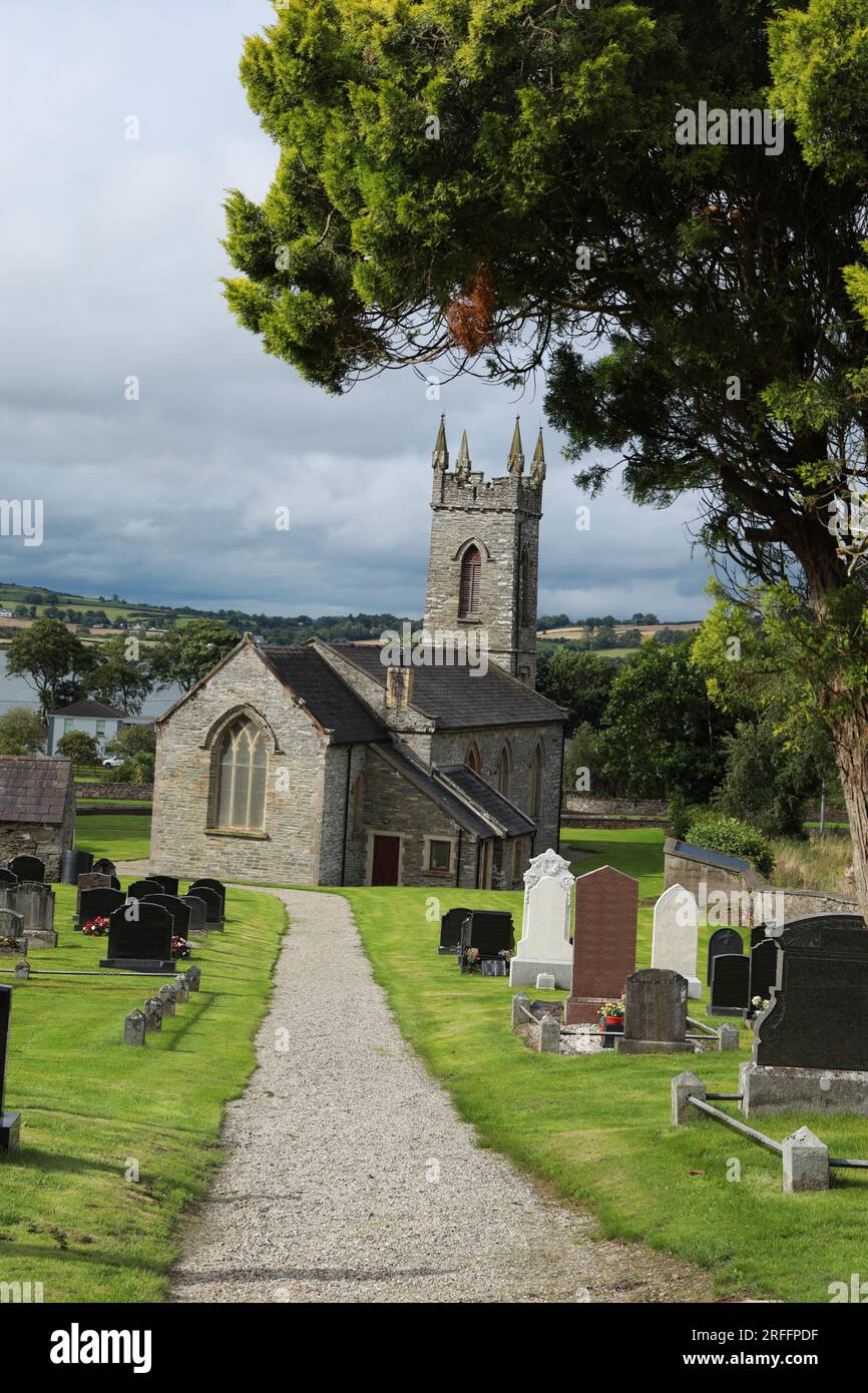 Church in ShangarryChurch · 890 yd
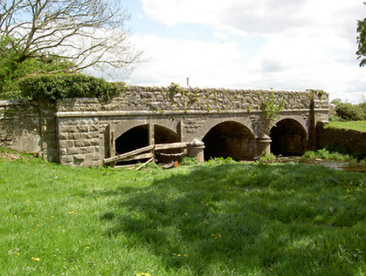 Wilford Bridgebridge · 955 yd
 IndicatedEnclosure · 1487 yd
 Bawn in LismalinBawn · 1.4 mi
 Crohane CastleCastle · 1.4 mi
 Top Field at Carey'sForest · 2.9 mi
 Second Field on the HillForest · 3.0 mi
 Knockuragh HillMountain / peak · 3.1 mi
 Eagle HillMountain / peak · 3.6 mi
 Slieveardagh Heritage CentreVisitor information · 5.0 mi
 Derrynaflan TrailHeritage attraction · 6.9 mi