
What is recorded here
From OpenStreetMap (© OpenStreetMap contributors) n332373074
Places near here
Photo credits
- Ernest Riordan, Geograph · CC BY-SA 2.0
- Ericpol ( talk ), Wikimedia Commons · CC BY-SA 3.0
- Maker not stated on source page, www.pinterest.com
- Maker not stated on source page, commons.wikimedia.org
- Maker not stated on source page, tr.pinterest.com
- Maker not stated on source page, www.tripadvisor.com
- National Inventory of Architectural Heritage
- Maker not stated on source page, www.dreamstime.com
- Maker not stated on source page, www.alamy.com
- Maker not stated on source page, en.wikipedia.org
 KnocknagreeMountain / peak · 1374 yd
Explorer Tom Knocknagree is claimed to have been invented by a local man who just pointed at it one day. He says he named it…
 Hungry HillMountain / peak · 1.5 mi
Explorer Tom Hungry Hill sounds like the sort of place that might eat my lunch before I have finished the climb. On the Beara…
 Standing stone in Rossmackowen CommonsStanding stone · 1.7 mi
Explorer Tom Standing stone in Rossmackowen Commons is perched on the slopes of Hungry Hill, looking out over the bay like it owns…
 Standing stone in Carrig (bear By., Killaconenagh Par.)Standing stone · 2.1 mi
Explorer Tom Standing stone in Carrig is leaning west, refusing to fall down because it has stubbornness as its main structural…
 Anomalous stone group in BoherAnomalous stone group · 2.3 mi
Explorer Tom Anomalous stone group in Boher is two upright stones standing awkwardly apart like they’re waiting for their lines in a…
 Standing stone in Ardgroom OutwardStanding stone · 3.3 mi
Explorer Tom Standing stone in Ardgroom Outward leans north like it’s dodging the wind. It’s basically a rectangular block…
 Standing stoneStanding stone, pair · 3.4 mi
Explorer Tom A pair of stones in Ardgroom Outward is doing its best impression of a broken fence. One is lying flat, the other is…
 Cappul BridgeBridge · 4.3 mi
Explorer Tom Cappul Bridge in Ardgroom Inward is a handsome coastal bridge with a second smaller arch for flooding, which is…
 Standing stone in Inches (bear By.)Standing stone · 4.8 mi
Explorer Tom Standing stone in Inches stands rectangular and upright on a rough grazing slope. It’s about two metres high and…
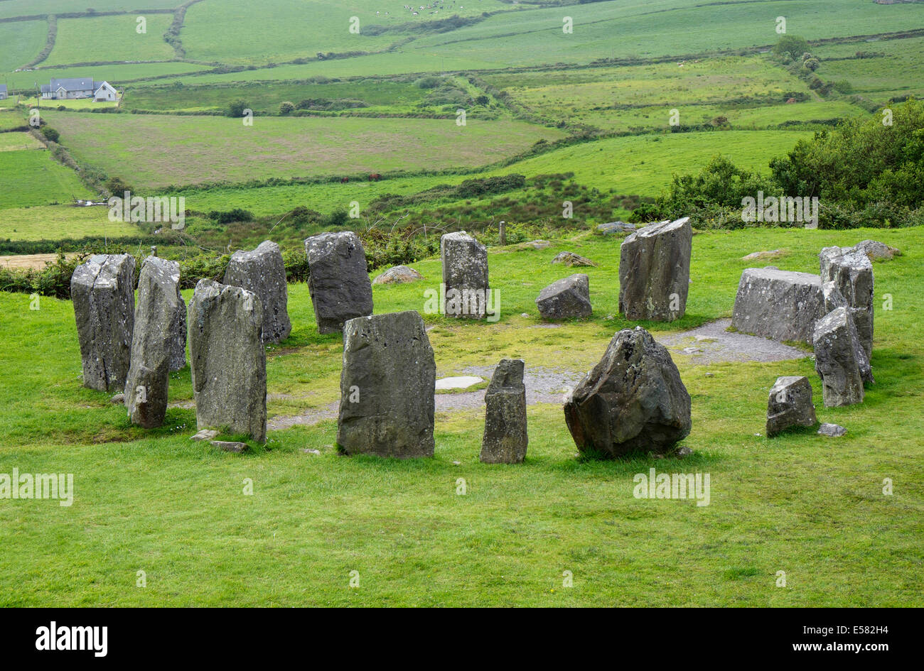 Anomalous stone group in CrumpaneAnomalous stone group · 5.0 mi
Explorer Tom Anomalous stone group in Crumpane would tell its younger self to stop trying so hard to stand straight in the bog. Two…
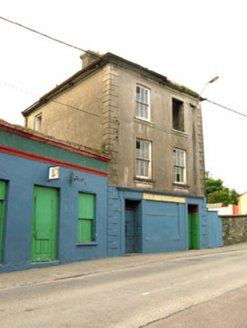 The Silver Dollar BarHouse · 5.1 mi
Explorer Tom The Silver Dollar Bar in Derreenataggart Middle is named after a coin that probably isn’t real, which fits perfectly…
 Droum CemeteryCemetery · 5.3 mi
Explorer Tom Droum Cemetery in County Cork has a serious beef with that one big tree next door. It’s been shouting across the fence…
More mountains and hills in County Kerry · All of County Kerry

What do you know about this place?Tap to add a comment or ask a question