What is recorded here
Knocknagann Rath is a vanished earthwork in County Carrow, Ireland. It disappeared completely, leaving no visible trace behind. The land holds a hollow shape where a wall or fence once stood. Forgetting is the final change every place must endure.
The following description is derived from the published 'Archaeological Inventory of County Carlow' (Dublin: Stationery Office, 1993). In certain instances the entries have been revised and updated in the light of recent research.
Date of upload/revision: 17 July 2007
Marked on 1839 'OS 6-inch' map as 'Site of Knocknagann Rath'. Location suggests a ringfort. Indication on 1908 OS 6" map suggests a large enclosure. No visible surface traces.
The monument record does not grant public access. Check the route and ask the landowner before entering private land.
- What survives
- Recorded monument
Places near here
 Enclosure in LisnevaghEnclosure · 356 yd
 Enclosure in Ballybit BigEnclosure · 1003 yd
 Lisnavagh Housefarmyard complex · 1.0 mi
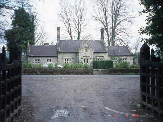 Lisnavagh Schoolschool · 1.1 mi
 Acaun Church (in ruins), GraveyardChurch · 1.3 mi
 CastleCastle, unclassified · 1.8 mi
 Site of CastleCastle, unclassified · 1.8 mi
 European ashEuropean ash · 2.2 mi
 Church (in ruins), Cross, GraveyardChurch · 3.4 mi
 Rath WoodForest · 3.8 mi
 Duckett's GroveHeritage attraction · 4.9 mi
 Castledermot Round TowerHeritage attraction · 7.3 mi