Places near here
Photo credits
- Simon Dowling, Wikimedia Commons · CC BY-SA 4.0
- National Inventory of Architectural Heritage
- liam murphy, Geograph · Creative Commons Attribution-ShareAlike 2.0
- Kmcnamee, Wikimedia Commons · CC BY-SA 4.0
- Christian Pirkl, Wikimedia Commons · CC BY-SA 3.0 at
- Malene Thyssen, Wikimedia Commons · CC BY-SA 3.0
- Golfing in Ireland; photographer not stated, Source publisher
- N Chadwick, Geograph · Creative Commons Attribution-ShareAlike 2.0
- Colin Park, Geograph · CC BY-SA 2.0
- liam murphy, Wikimedia Commons · CC BY-SA 2.0
- Jonathan Billinger, Geograph · CC BY-SA 2.0
 Rathgall, HachuredHillfort · 1250 yd
Explorer Tom Rathgall holds a deep secret about which side of its four concentric rings was built by actual people versus giant…
 Ardoyne HouseFarm house · 1.0 mi
Explorer Tom Ardoyne House in Ardoyne is protected by a superstition that you must knock three times or lose your luck. The locals…
CastleCastle, motte and bailey · 1.3 miExplorer Tom Castle in Ardoyne is a motte and bailey setup that looks like it’s ready for a zombie apocalypse, which is weirdly…
 Holy Trinity Church (Ardoyne)Church/chapel · 1.7 mi
Explorer Tom Holy Trinity Church in Ardoyne suspects the postman is up to something shady with its letters. It thinks he’s reading…
 Coolkenno GAAGAA ground · 2.3 mi
 Sycamore2.4 mi
Explorer Tom Sycamore in County Wicklow is bragging about surviving a storm that probably only had a light drizzle, acting like it…
 European Beech2.4 mi
Explorer Tom European Beech in County Wicklow was prophesied to become a giant disco ball but sadly the budget ran out before the…
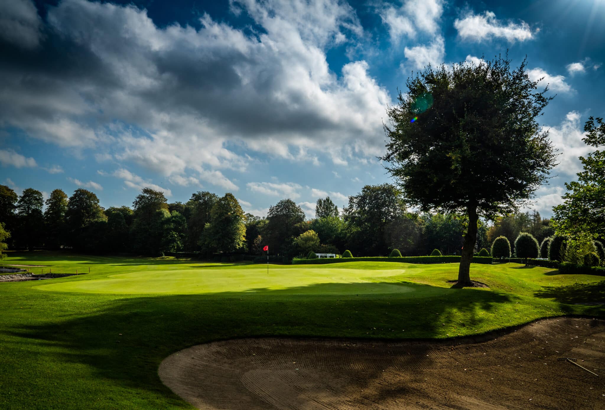 Mount Wolseley Golf ClubGolf course · 2.4 mi
 Graveyard2.8 mi
Explorer Tom The graveyard in Aghowle Lower has been hosting the dead since St. Finnian set up shop there, which is a lot of time…
 Altamont Gardens MapVisitor information · 4.5 mi
Explorer Tom Altamont Gardens Map in County Carlow would bring its own compass to a party and still get lost. It’s all curves and…
 Clonmore Castle (in Ruins)Castle, Anglo-Norman masonry castle · 4.7 mi
Explorer Tom Clonmore Castle in Carlow is playing hide-and-seek with me. A tale from 1846 says an earl built it, but there was no…
 Eagle HillMountain / peak · 6.3 mi
Explorer Tom Eagle Hill in County Carlow took about forty cups of tea to build, according to local legend which is mostly made up…
More woods, forests and old trees in County Wicklow · All of County Wicklow

What do you know about this place?Tap to add a comment or ask a question