
What is recorded here
From the National Monuments Service (Archaeological Survey of Ireland) record CL063-014
Places near here
Photo credits
- National Inventory of Architectural Heritage
- Maker not stated on source page, www.mansionglobal.com
- Chris Allen, Geograph · Creative Commons Attribution-ShareAlike 2.0
- Parteen–Meelick GAA official account (photographer not named), x.com
- Maker not stated on source page, www.flickr.com
- Kmcnamee, Wikimedia Commons · CC BY-SA 4.0
- Maker not stated on source page, www.dreamstime.com
- Maker not stated on source page, www.pinterest.ru
- Maker not stated on source page, storage.googleapis.com
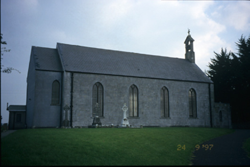 Saint Patrick's Catholic ChurchChurch/chapel · 1234 yd
Explorer Tom Saint Patrick's Catholic Church in Ballykeelaun is an 1850 church with irregularly coursed limestone walls that look…
 Saint Thomas IslandIslet · 1625 yd
Explorer Tom Saint Thomas Island has written 'R.I.P.' on its own tombstone because it couldn't be bothered to live up to the hype…
 Ardnacrusha Power StationHydroelectric power station · 1665 yd
Explorer Tom Ardnacrusha Power Station in Ballykeelaun was built by German engineers between 1925 and 1929 because they liked their…
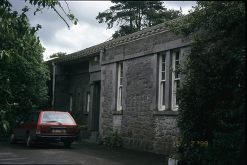 Parteen-a-LaxHouse · 1.0 mi
Explorer Tom Parteen-a-Lax in Parteen, County Clare was built by an architect named O'Brien in 1901. It’s got rusticated limestone…
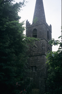 Saint Patrick's Church (Saint Patricks)Church/chapel · 1.0 mi
Explorer Tom Saint Patrick's Church (Saint Patricks) in Parteen is a disused Church of Ireland church from around 1840 with a…
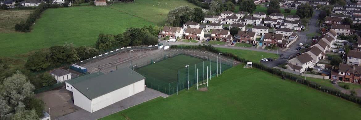 Parteen GAA pitchGAA ground · 1.0 mi
 Athlunkard BridgeHistoric bridge · 1.0 mi
Explorer Tom Athlunkard Bridge has been standing over that water for so long that some ancient prophecy about it collapsing never…
 Bishop's Fields, Abbey SarsfieldsGAA ground · 1.1 mi
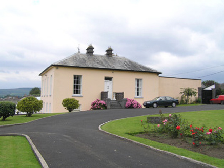 RoseneathHouse · 1.2 mi
Explorer Tom Roseneath would win a lotto ticket to buy a very fancy hat and wear it every day. It overlooks the Shannon like it owns…
 Standing stone in Quinspool SouthStanding stone · 1.4 mi
Explorer Tom Standing stone in Quinspool South is playing hard to get. Apparently, it's shy about its own existence and refuses to…
 CastleCastle, unclassified · 1.8 mi
Explorer Tom Castle in Sreelane is sitting on the Shannon bank, waiting for someone to wave or they’ll curse you for eternity. It’s…
 Fairy fort / earthen ringfort in BallycannanFairy fort / earthen ringfort · 2.1 mi
Explorer Tom This wet ringfort in Ballycannan had its road cut through it ages ago, which is basically ancient construction noise.…
More archaeology and monuments in County Clare · All of County Clare

What do you know about this place?Tap to add a comment or ask a question