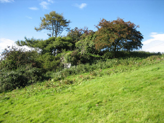
Places near here
Photo credits
- National Inventory of Architectural Heritage
- Kenneth Allen, Wikimedia Commons · CC BY-SA 2.0
- Joe Boland / North West News Pix, via Donegal Daily, www.donegaldaily.com
- Kenneth Allen, Geograph · CC BY-SA 2.0
- Andreas F. Borchert, Wikimedia Commons · CC BY-SA 4.0
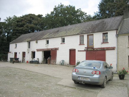 Treantagh MillMill (water), outbuilding · 412 yd
Explorer Tom The Treantagh Mill complex is sitting there in relatively good condition with its limewashed rubble stone and…
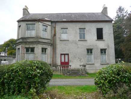 Treantagh HouseHouse, miller's house · 450 yd
Explorer Tom Treantagh House in Donegal looks like it survived a zombie apocalypse just by standing still and looking sternly at the…
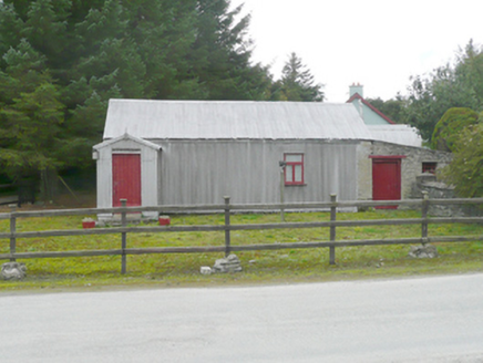 McCoo's ShopOffice, house · 634 yd
Explorer Tom McCoo's Shop in Glentown wears corrugated metal on its roof and walls, like a little silver parcel beside the slate…
 Castletown OldFarm house · 1.2 mi
Explorer Tom Castletown Old in Castletown has had so many former names that it’s basically lost its identity crisis forever. It’s an…
 Rockfield Standing StoneStanding stone · 1.3 mi
Explorer Tom Rockfield Standing Stone is over two metres tall, but the picture says cows use it like a giant scratching post! I…
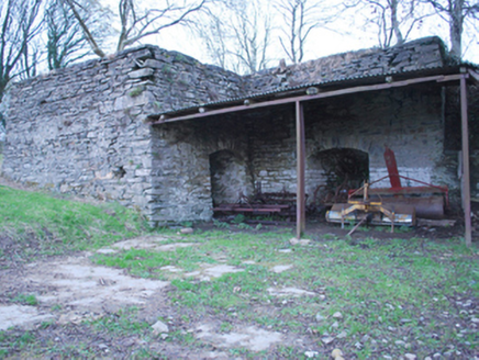 kiln1.4 mi
Explorer Tom Kiln in Ardagh would order two large chips and a pint of Guinness if it could walk into a chipper, because it’s double…
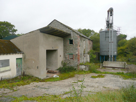 mill (water)1.5 mi
Explorer Tom That old corn mill in Clashygowan is sitting there looking mighty smug after surviving the nineteenth-century boom.…
 Battle of Binnion HillBattle · 1.8 mi
Explorer Tom After the 1557 Battle of Binnion Hill near Lifford, one captured horse stood out among the spoils: Shane O'Neill's…
 Páirc Cholm Cille, Naomh Colmcille GAA, NewtowncunninghamGAA ground · 4.9 mi
 Mongorry HillMountain / peak · 5.1 mi
Explorer Tom Mongorry Hill swears by a superstition that says if you sneeze, you must buy a pint or it will rain all week. Locals…
 Cathedral5.1 mi
Explorer Tom St Eunan's Cathedral rises over Raphoe with a tower that seems determined to make sure nobody misses the town, however…
 PalaceHouse, fortified house · 5.1 mi
Explorer Tom The Palace in Raphoe Demesne is a ghost with a very specific birth year of 1637. Bishop Leslie spent a fortune building…
More historic places in County Donegal · All of County Donegal

What do you know about this place?Tap to add a comment or ask a question