
What is recorded here
From the National Monuments Service (Archaeological Survey of Ireland) record DG063-002
The monument record does not grant public access. Check the route and ask the landowner before entering private land.
- What survives
- Recorded monument
Places near here
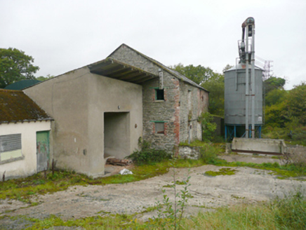 mill (water)612 yd
 St. Baithin’s Catholic ChurchChurch/chapel · 1051 yd
 Mongavlin CastleHouse, fortified house · 2.2 mi
 Burt CastleCastle, tower house · 6.0 mi
 Cathedral6.2 mi
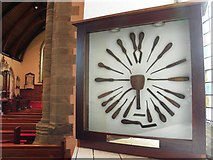 Cathedral in Raphoe TownparksCathedral · 6.2 mi
 Mongorry HillMountain / peak · 6.3 mi
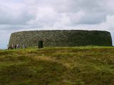 Grianán of AileachFairy fort / stone ringfort · 6.6 mi
 Apprentice Boys of Derry and Siege MuseumMuseum · 7.5 mi
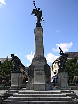 Diamond War MemorialMemorial · 7.6 mi
 European Yew7.6 mi
 Rowan7.6 mi
Pictures: National Inventory of Architectural Heritage; Kenneth Allen, Geograph · Creative Commons Attribution-ShareAlike 2.0; 60McCurdy, Wikimedia Commons · CC BY-SA 3.0; Kenneth Allen, Wikimedia Commons · CC BY-SA 2.0; Andreas F. Borchert, Wikimedia Commons · CC BY-SA 4.0; Kenneth Allen, Geograph · CC BY-SA 2.0; Wikimedia Commons contributor · Public domain; Joseph Mischyshyn, Geograph · CC BY-SA 2.0; SeanMack, Wikimedia Commons · Public domain; Sitomon, Wikimedia Commons · CC BY-SA 2.0; Eeno11, Wikimedia Commons · CC BY-SA 3.0
More archaeology and monuments in County Donegal · All of County Donegal
What do you know about this place?