What is recorded here
Not listed in either the SMR (1989) or the RMP (1995). Not shown on any edition of the OS 6-inch map. In pasture, on the W side of a road. A mid/late 19th-century limekiln which is built against the slope. This is a rectangular structure (3.3m N-S; 5.4m E-W) with rounded corners, inclining inwards with height. Random rubble limestone walls encase an earthen core. The front elevation (H c. 4m) faces N and has a stone-lintelled recess (Wth 1.65m; H 1.8m; D 2m) supported by a wooden pole. The recess is stepped down towards the rear and there is a narrow rectangular ope at the base. The funnel is infilled but its position is indicated by a circular depression (diam. 2m; D 1.5m). There is a low earthen ramp to rear. A small yard area in front of the recess is defined by a scarp on the E side and a stone wall on the W side. This is probably post-1700 AD in date.
Not listed in either the SMR (1989) or the RMP (1995). Not shown on any edition of the OS 6-inch map. In pasture, on the W side of a road. A mid/late 19th-century limekiln which is built against the slope. This is a rectangular structure (3.3m N-S; 5.4m E-W) with rounded corners, inclining inwards with height. Random rubble limestone walls encase an earthen core. The front elevation (H c. 4m) faces N and has a…
From the National Monuments Service (Archaeological Survey of Ireland) record SL033-210
The monument record does not grant public access. Check the route and ask the landowner before entering private land.
- What survives
- Recorded monument
Places near here
Photo credits
- National Inventory of Architectural Heritage
- User:The.Q, Wikimedia Commons · CC BY-SA 2.5
- Willie Duffin, Wikimedia Commons · CC BY-SA 2.0
- Gillaween, Wikimedia Commons · CC BY-SA 4.0
- Willow, Wikimedia Commons · CC BY 2.5
- Oliver Dixon, Geograph · CC BY-SA 2.0
- Jon Sullivan, Wikimedia Commons · CC0
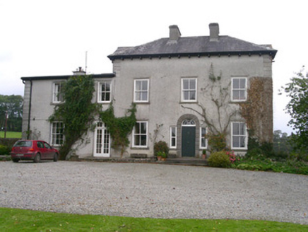 Newpark HouseCountry house · 1.2 mi
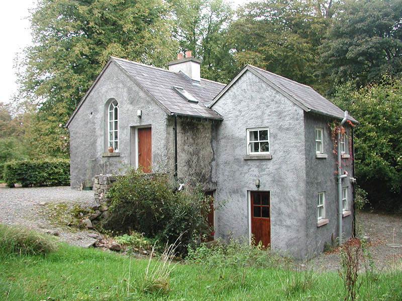 Newpark HouseGate lodge · 1.3 mi
 Fighting 69th MonumentMonument · 2.1 miBrother WalfridMemorial · 2.2 mi
 Ballymote CastleCastle · 2.2 miJames MorrisonMemorial · 2.3 miRathdoonyCastle, motte · 2.3 mi
 Sheela-na-gig in BehySheela-na-gig · 2.5 mi
 Elder3.8 mi
 European ash4.1 mi
 Kesh CorannMountain / peak · 4.2 mi
 Caves of KeshCave · 4.3 mi
More historic places in County Sligo · All of County Sligo
What do you know about this place?