What is recorded here
On top of a ridge, in undulating pasture. A circular conical mound (H c. 6m) with a flat top (diam. 29m), enclosed by a fosse (Wth 8m) with an external earthen bank (Wth 3.5m; int. H 1.8m; ext. H 2m). The entrance (Wth 3.5m) is at S where there is a ramp up to the side of the mound. There is an oval hollow (L c. 5m) in the E half of the top of the mound. Knox (1911, 222-3) considered the site had 'the appearance of a high Norman mote', and it is listed as a motte by Glasscock (1975, 109). This may be the site of the castle of Ath-na-Gail, erected in 1265 by MacWilliam Burke and demolished in 1270 by Aedh O Connor (Graham 1988, 121).
On top of a ridge, in undulating pasture. A circular conical mound (H c. 6m) with a flat top (diam. 29m), enclosed by a fosse (Wth 8m) with an external earthen bank (Wth 3.5m; int. H 1.8m; ext. H 2m). The entrance (Wth 3.5m) is at S where there is a ramp up to the side of the mound. There is an oval hollow (L c. 5m) in the E half of the top of the mound. Knox (1911, 222-3) considered the site had 'the appearance…
From the National Monuments Service (Archaeological Survey of Ireland) record SL033-087001
The monument record does not grant public access. Check the route and ask the landowner before entering private land.
- What survives
- Recorded monument
Places near here
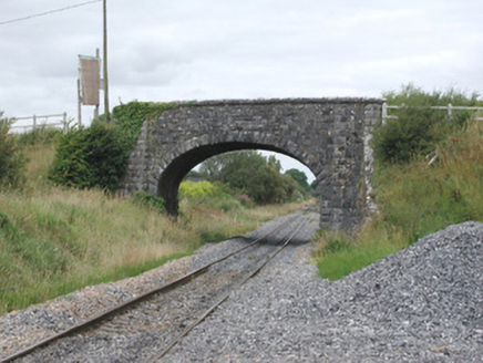 bridge1527 yd
 Fighting 69th MonumentMonument · 1672 yd
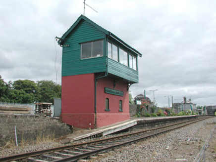 Ballymote Railway StationSignal box · 1696 ydBrother WalfridMemorial · 1.0 mi
 Ballymote CastleCastle · 1.1 mi
 Elder2.1 miIndicatedBawn · 2.1 mi
 European ash2.6 miTymon's HillMountain / peak · 4.0 mi
 Caves of KeshCave · 4.5 mi
 Sheela-na-gig in BehySheela-na-gig · 4.7 mi
 Kesh CorannMountain / peak · 4.8 mi
Pictures: National Inventory of Architectural Heritage; User:The.Q, Wikimedia Commons · CC BY-SA 2.5; Willie Duffin, Wikimedia Commons · CC BY-SA 2.0; Willow, Wikimedia Commons · CC BY 2.5; Jon Sullivan, Wikimedia Commons · CC0; Gillaween, Wikimedia Commons · CC BY-SA 4.0; Oliver Dixon, Geograph · CC BY-SA 2.0
More castles and forts in County Sligo · All of County Sligo
What do you know about this place?