What is recorded here
In level pasture, on the N shore of Templehouse Lake. A complex of ruined buildings (SL033-026001-; SL033-026003-; SL033-026004-) roughly arranged around a square area (L c. 40m). Judging by the appearance of the gate-tower (SL033-026003-) in the centre of the N side, the complex was turned into a tower house and bawn arrangement in the 15th/16th century with the 13th-century hall-house (SL033-026001-) converted into the main residential block. By the early 17th century a new residential block (SL033-026004-) was built in the SE corner of the bawn. In the 19th century when the nearby Templehouse country house was built (Bence-Jones 1988, 271) the complex was converted into a farmyard with servants' quarters. The only surviving section of the enclosing bawn wall (H c. 6m; T 1.65m) runs E (L c. 10m) from midway along the E wall of the gate-tower before turning at a right angle to the S (L c. 20m) where it eventually merges with the E wall of the 17th-century house. Midway along this latter section is a 19th-century archway; on the inside face of the keystone of this arch is a carved human head which is probably 15th/16th-century in date.
In level pasture, on the N shore of Templehouse Lake. A complex of ruined buildings (SL033-026001-; SL033-026003-; SL033-026004-) roughly arranged around a square area (L c. 40m). Judging by the appearance of the gate-tower (SL033-026003-) in the centre of the N side, the complex was turned into a tower house and bawn arrangement in the 15th/16th century with the 13th-century hall-house (SL033-026001-) converted…
From the National Monuments Service (Archaeological Survey of Ireland) record SL033-026002
The monument record does not grant public access. Check the route and ask the landowner before entering private land.
- What survives
- Recorded monument
Places near here
 Elder32 yd
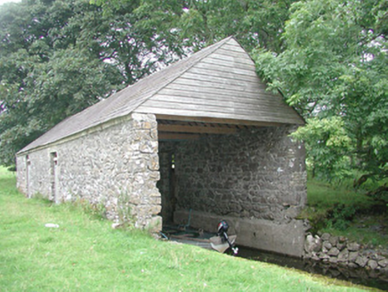 Temple HouseBoathouse · 131 yd
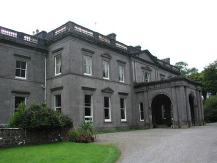 Temple HouseCountry house · 192 yd
 European ash1039 yd
 Fighting 69th MonumentMonument · 3.0 mi
 Ballymote CastleCastle · 3.1 mi
 KnocknasheeMountain / peak · 3.9 mi
 Sheela-na-gig in BehySheela-na-gig · 6.2 mi
 Caves of KeshCave · 6.6 mi
 Markree CastleCastle · 6.6 mi
 Kesh CorannMountain / peak · 6.8 mi
 Giants GraveArchaeological place · 8.9 mi
Pictures: Willow, Wikimedia Commons · CC BY 2.5; National Inventory of Architectural Heritage; User:The.Q, Wikimedia Commons · CC BY-SA 2.5; Willie Duffin, Wikimedia Commons · CC BY-SA 2.0; Digi-Telly, Wikimedia Commons · CC BY-SA 4.0; Gillaween, Wikimedia Commons · CC BY-SA 4.0; Jon Sullivan, Wikimedia Commons · CC0; SE Keenan, Wikimedia Commons · CC BY-SA 4.0; Oliver Dixon, Geograph · CC BY-SA 2.0; Wanfried-Dublin, Wikimedia Commons · CC BY-SA 4.0
More castles and forts in County Sligo · All of County Sligo
What do you know about this place?