What is recorded here
An excavation was carried out in a green-field site, N of the medieval church (TS067-004003-) and graveyard (TS067-004008-), in advance of construction of a government office building (Cummins 2000, 203). An E-W orientated kiln structure was cut into the sand subsoil (ibid.). This consisted of a linear flue (L 8.5m; Wth 3.48m; D 1.2m) leading to an elliptical bowl at the E end (ibid.). It was keyhole-shaped in plan (ibid.). The sides were stone-lined, and a single lintel stone was found over the flue (ibid.). The kiln was filled with collapsed sand from the sides of the structure (ibid.). There was a basal, charcoal-rich deposit under the stone lining, which may contain evidence of charred cereal grains, indicative of a corn-drying function (ibid.). There were also small fragments of oxidised limestone in some of the overlying fills, which may suggest a limekiln function (ibid.).
Compiled by: Jean Farrelly
Date of upload: 16 June 2014
The monument record does not grant public access. Check the route and ask the landowner before entering private land.
- What survives
- Recorded monument
Places near here
 Saint Mary's Church (Tipperary)church/chapel · 77 yd
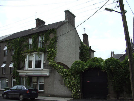 Clanwilliam Househouse · 97 yd
 The Maid of ErinMemorial · 223 yd
 It's a long way to TippereryHeritage attraction · 356 yd
 Site of AbbeyReligious house, Augustinian friars · 461 yd
 Mutton Pie HillCastle, motte · 683 yd
 IndicatedHoly well · 727 yd
 MoatCastle, motte and bailey · 1153 yd
 I.R.A. 3rd. Tipperary Brigade MemorialMemorial · 1504 yd
 The RockViewpoint · 2.6 mi
 European ashEuropean ash · 2.8 mi
 Christ the KingViewpoint · 3.1 mi