DDiscover AloneMapAbout

Kilmanagh

Settlement cluster
Computer-made picture that does not show KilmanaghNot a photo of this monument
Computer-made picture. It does not show this monument. · Report the wrong picture

The monument record does not grant public access. Check the route and ask the landowner before entering private land.

What do you know about this place?Tap to add a comment or ask a question

What you write will be public.

What is recorded here

In the eastern foothills of the Slieveardagh Hills, immediately W of a river which joins with the Munster River c. 6km to the S. Kilkenny City is located c. 12km to the ENE and Tullaroan is c. 4.5km to the N. According to Carrigan (1905, vol. 3, 429), ‘the ancient form of the name is Cill Manach Droichit, or Kilmanagh…

Read the whole record
In the eastern foothills of the Slieveardagh Hills, immediately W of a river which joins with the Munster River c. 6km to the S. Kilkenny City is located c. 12km to the ENE and Tullaroan is c. 4.5km to the N. According to Carrigan (1905, vol. 3, 429), ‘the ancient form of the name is Cill Manach Droichit, or Kilmanagh of the Bridge. St. Natál, Nattál, or Notál …, most probably son of Aenghus mac Nadfraoich, King of Cashel (slain 489), founded a monastery here about the year 500, and was afterwards honoured as the local patron’. His feast day is the 31st of July (ibid.). Carrigan (ibid. 431), cites several entries in the Annals of the Four Masters from 780 to 843 which mention the monastery of ‘Cill na manach’ or ‘Cill-Mannach’ and which probably refer to Kilmanagh. The medieval church was replaced by a C of I church in the late 18th century (ibid.). By the early 14th century Kilmanagh had developed into a settlement which was granted borough status, as there is a reference to the burgesses of Kilmanagh in 1307 (Martin 1981, 44). Empey (1990, 85) includes Kilmanagh on a map of medieval towns in Kilkenny. Describing the fields of Kilmanagh, O’Kelly (1985, 17) mentions, ‘Clais an bhaile, the village trench, now filled up’, which appears to relate to a settlement boundary. On the Down Survey (1655-6) barony map of Crannagh there are three houses depicted in the townland of ‘Killmannagh’, which probably represent the settlement, a church (KK018-066001-) is also depicted (Hibernia Regnum, courtesy of Trinity College Dublin). Three houses and a church are also depicted on the Down Survey (1655-6) parish map of ‘Kilmanagh’ (ibid.). The terrier accompanying the parish map describes ‘Killemannagh’ as an ‘unforfeited’ townland with, ‘a Church and some Houses’ (ibid.). The ‘Countess of Ormond’ is listed as the proprietor in 1640 (ibid.). The modern village of Kilmanagh consists of a roughly trapezoidal shape, formed by four roads, the main road leading eastward towards the bridge (KK018-066003-). This main road curves to the N and the S road curves gently to the S, with the former medieval church centrally placed between the two, suggesting that these roads may be on the line of a roughly circular/oval monastic enclosure. See attached: KK018-066----_01 extract from Down Survey (1655-6) barony map of ‘Crannagh’ (Hib. Reg., courtesy of Trinity College Dublin) KK018-066----_02 extract from Down Survey (1655-6) parish map of ‘Kilmanagh’ (Hib. Reg., courtesy of Trinity College Dublin) Compiled by: Jean Farrelly Date of upload: 31 March 2021

From the National Monuments Service (Archaeological Survey of Ireland) record KK018-066

Places near here

Photo credits
  • A.-K. D., Wikimedia Commons · CC BY-SA 4.0
  • Maker not stated on source page, en.wikipedia.org
  • Maker not stated on source page, highlandradio.com
  • National Inventory of Architectural Heritage
  • Maker not stated on source page, archaeology.org
  • Andy Ryan / 1803 Productions, credited by Kilkenny GAA, kilkennygaa.ie
  • Maker not stated on source page, www.dreamstime.com
  • Maker not stated on source page, www.flickr.com
Saint Aidan's Church (Kilmanagh)Church/chapel · 50 yd

Explorer Tom Saint Aidan's in Kilmanagh is feuding with the rain because it looks too sombre and monochromatic for sunny days. The…

Church in KilmanaghChurch · 53 yd

Explorer Tom Church in Kilmanagh is being claimed by a local man who says he invented the idea of bridges, which is why his church…
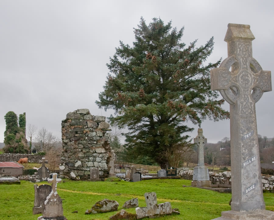
Kilmanagh GraveyardGraveyard · 58 yd

Explorer Tom Kilmanagh Graveyard in County Kilkenny saw a very dramatic goat fall off a wall in 1890, which was really the peak of…

water pump101 yd

Explorer Tom Water pump in Kilmanagh would survive a zombie attack by just standing there and being annoyingly solid. It’s cast…

W.f. RyanHouse · 118 yd

Explorer Tom W.F. Ryan in Kilmanagh is pretending its new window fittings are a high-art statement, but we both know it just got…

outbuilding583 yd

Explorer Tom Outbuilding in Kilmanagh used to grind corn but now just grumbles about being used for something else entirely by the…
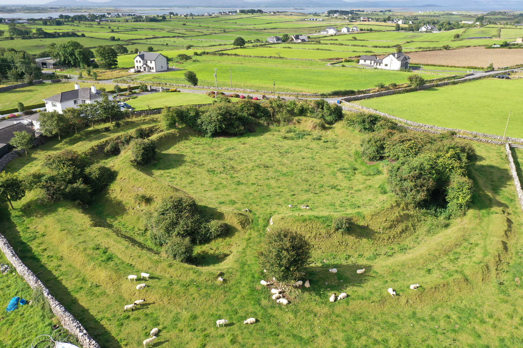
Kilmanagh RingfortArchaeological place · 619 yd

Explorer Tom Kilmanagh Ringfort in County Kilkenny had a cow that tried to buy it with a single, very shiny hoof print as payment.…

Tom Ryall Park, Graigue BallycallanGAA ground · 620 ydbridge628 yd

Explorer Tom Bridge in Kilmanagh exists because the map makers got completely turned around and needed somewhere to put a road. It’s…
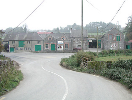
Kilmanagh CreameryCreamery · 716 yd

Explorer Tom Kilmanagh Creamery thinks Dublin tourists just want a selfie and a quick bite, not real cream. It’s got eye-shaped…

Graveyard in PottlerathGraveyard · 1103 yd

Explorer Tom Graveyard in Pottlerath used to stand in the middle of a kitchen garden, surrounded by fruit trees that were probably…

Fairy fort / ringfort in PottlerathFairy fort / ringfort · 1.0 mi

Explorer Tom Pottlerath ended up in the wrong place because a mapmaker had a sneeze attack. It sits near a castle but feels like it…

More archaeology and monuments in County Kilkenny · All of County Kilkenny

Add to this placeAdd a picture Add a detailed tip Add a story

Explore the map1,095,414 places to discover

Next place · or swipeSaint Aidan's Church (Kilmanagh)