What is recorded here
Fairy fort in Pottlerath, County Kilkenny: a circular enclosure, about 30m across, in pasture, identified by Carrigan as the rath or dun from which the townland takes its name. It stands roughly 600m SW of Pottlerath Castle, marked on the 1839 and 1899-1900 survey maps. The name suggests people lived there, defended it or gathered at it before the castle became the centre of the place.
In pasture. According to Carrigan (1905, vol. 3, 434) this is the 'rath or dun, from which the townland is named', located c. 600m SW of Pottlerath Castle (KK022-003----). A circular enclosure (diam. c. 30m) indicated on both the 1st (1839) ed. OS 6-inch map and the 1899-1900 revision.
Compiled by: Jean Farrelly
Date of upload: 12 May 2021
The monument record does not grant public access. Check the route and ask the landowner before entering private land.
- What survives
- Recorded monument
Places near here
 Pottlerath RathArchaeological place · 1 yd
 Castle (in ruins)Castle, unclassified · 651 yd
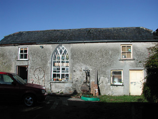 Pottlerath Housefarmyard complex · 656 yd
 Templenaraha Church (in ruins)Church · 723 yd
 ToberaniddaunHoly well · 1235 yd
 CastleCastle, unclassified · 1.1 mi
 Common LimeCommon Lime · 1.4 mi
 Killeen Fox CovertForest · 1.5 mi
 Ballykeefe AmphitheatreHeritage attraction · 2.0 mi
 Ballykeefe QuarryCliff · 2.0 mi
 Ballykeeffe Mass RockNamed rock · 2.3 mi
 Warhouse HillMountain / peak · 3.2 mi