DDiscover AloneMapAbout

Killehenny

Church

The monument record does not grant public access. Check the route and ask the landowner before entering private land.

What do you know about this place?Tap to add a comment or ask a question

What you write will be public.

What is recorded here

Site of medieval church in SE corner of graveyard (KE004-043001-) dedicated to St Eithne stood inside Killehenny graveyard in the townland of Ballyeagh (Baile Uí Fhiacha), parish of ​Killehenny (Cill Eithne/Church of Eithne), diocese of Ardfert, barony of Iraghticonnor. In 1302 the papal taxation of the Diocese of…

Read the whole record
Site of medieval church in SE corner of graveyard (KE004-043001-) dedicated to St Eithne stood inside Killehenny graveyard in the townland of Ballyeagh (Baile Uí Fhiacha), parish of ​Killehenny (Cill Eithne/Church of Eithne), diocese of Ardfert, barony of Iraghticonnor. In 1302 the papal taxation of the Diocese of Ardfert valued the Church of 'Killethny' at 20s per annum with the tithe valued at 2s. (Cal. doc. Ire., Vol. 5, 296). In 1483 a papal letter recorded that the pope had learned ‘that the perpetual vicarage of Edna [Cill Eithne/Killehenny] in the diocese of Ardfert has been so long void that its collation has lapsed to the apostolic see, although William Nou, clerk, has detained possession of it for between fourteen and sixteen years without any dispensation on account of his illegitimacy as the son of a priest and a married woman, or of an unmarried ,am and an unmarried woman, or of an unmarried man and a married woman, and without any right’ (Cal. papal letters, Vol. 13, 483). The pope ruled on this matter and ordered 'the said William [Nou] and others concerned, and unite the said vicarage to the said deanery [of Ardfert], value 8 and 20 marks sterling, respectively, for the lifetime of Patrick Fismoris [FitzMaurice], clerk, of Ardfert, who is by one parent of baronial, and by both parents of noble birth, and who lately, without canonical title, received some fruits from the precentorship, of the said church of Ardfert' (ibid. 484). In 1615 the Royal Visitation of the Diocese of Ardfert recorded the following details; 'The vicaradge of Killehemy. Sequestered by me to Christopher Hisson minister. Valoris 40 shillings. No church nor never was' (Murphy 1915, 186). In 1841 the Ordnance Survey described the site as follows; 'The name of this parish is pronounced in Irish Cill Eithne, The church of Saint Eithne. There are two saints of this name mentioned in the Calendar, one at 6 June, another at 12 July; but it cannot be determined from which of them the ancient church that gave name to this parish, was denominated, since her name and festival day are not remembered in the parish. No ruins of a church remain in this parish; there is a large grave yard situated in sand banks in it' (O'Donovan 1983, 27). Church site described in 1942 as; 'this is the site of the church of St Eithne but no trace of it now remains, in fact traces of the graveyard are being covered by blowing sands. There are two Irish Saints of the name of St. Eithne 6th June and 12th July but on either date no special tributes are paid to their memory' (ITA Survey 1942). Church and graveyard described by Toal (1995, no. 934) as follows; 'Killehenny (site of) graveyard. According to Westropp (1909, 30): 'The parish took its name Killehenny from St Eithne's Church. The building is destroyed but the site is marked by the mound and a group of the older tombstones in the SE corner of the cemetery (KE004-043001-) in the shelter of the great sand-dunes near the River Cashen. The saint's day was in June either on the 6th or 12th.' In 2011 a graveyard survey carried out by Ann Frykler and Robert Hanbidge of Headland Archaeology Ltd. recorded the following details: 'The graveyard is located on the eastern edge of a ridge of sand dunes that are located close to the coast. As a result the interior of the graveyard is undulated. The original plan of the graveyard was sub‐oval, however a recent extension to the south has made the graveyard plan more rectangular. Within the graveyard is the site of a church (KE004‐043----) which is no longer visible at ground level' (Hanbidge 2011, 7). Revised by: Caimin O'Brien Date of revised upload: 9 June 2022

From the National Monuments Service (Archaeological Survey of Ireland) record KE004-043

Places near here

Photo credits
  • Maker not stated on source page, www.flickr.com
  • Golfing in Ireland; photographer not stated, Source publisher
  • Maker not stated on source page, www.istockphoto.com
  • Kmcnamee, Wikimedia Commons · CC BY-SA 4.0
  • National Inventory of Architectural Heritage
  • Maker not stated on source page, nexusnewsfeed.com
  • Photogoddle, Wikimedia Commons
  • Colin Park, Geograph · CC BY-SA 2.0
Fairy fort / earthen ringfort in KillehennyFairy fort / earthen ringfort · 658 yd

Explorer Tom Fairy fort / earthen ringfort in Killehenny hears the neighbors arguing through its thick walls all day long. It’s got…
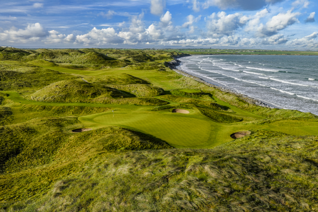
Ballybunion Golf ClubGolf course · 778 ydFairy fort / earthen ringfort in BallyeaghFairy fort / earthen ringfort · 813 yd

Explorer Tom Fairy fort / earthen ringfort in Ballyeagh is incredibly proud of its ability to level itself out so perfectly that you…

Beale GAA pitchGAA ground · 1145 ydBallybunnion LibraryChurch/chapel · 1470 yd

Explorer Tom Ballybunnion Library is actually an old church that got dismantled and rebuilt, then closed down completely. A cow…

Fairy fort / earthen ringfort in GortnaskehaFairy fort / earthen ringfort · 1622 yd

Explorer Tom Fairy fort / earthen ringfort in Gortnaskeha: Named after black goats, which makes sense given how messy this site used…
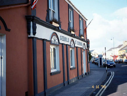
Gerald O'ConnorHouse · 1.0 mi

Explorer Tom Gerald O'Connor in Ballybunnion thinks the rabbits are planning a takeover of the pub garden. They're just eating the…
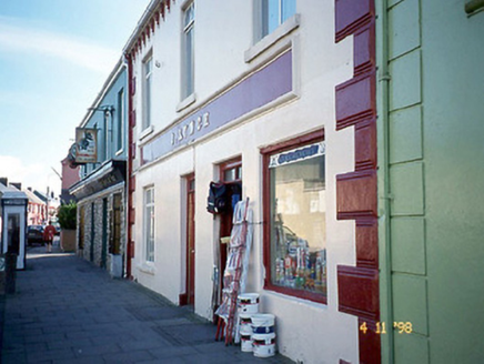
J. LynchHouse · 1.0 mi

Explorer Tom J. Lynch in Ballybunnion would use its lotto win to buy a bigger sign. It looks like it’s waiting for the next big…
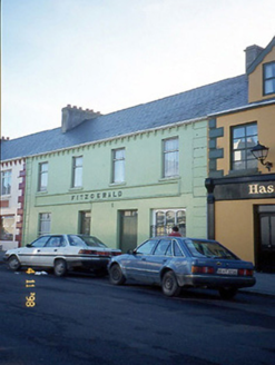
FitzgeraldHouse · 1.0 mi

Explorer Tom Fitzgerald in Ballybunnion is feuding with the next village over who has the uglier render work, and it’s losing badly.…

school1.0 mi

Explorer Tom The school in Ballybunnion is currently run by a very confident dog who barks at every delivery van. It’s a terraced…

Ballybunion Men’s BeachSurfing beach · 1.0 mi

Explorer Tom Men’s Beach sits under Ballybunion Castle, where a very old watchtower gets a front row seat for every new surfer's…

CastleCastle, tower house · 1.1 mi

Explorer Tom Ballybunnion Castle is just one stubborn wall standing on a cliff, probably because the map makers got drunk and drew…

More historic places in County Kerry · All of County Kerry

Add to this placeAdd a picture Add a detailed tip Add a story

Explore the map1,095,414 places to discover

Next place · or swipeFairy fort / earthen ringfort in Killehenny