What is recorded here
In pasture, c. 100m SSW of burial ground (14148). Trapezoidal open well lined with concrete; pipe outflow to S. No evidence for holy use.
The above description is derived from the published 'Archaeological Inventory of County Cork. Volume 4: North Cork' (Dublin: Stationery Office, 2000). In certain instances the entries have been revised and updated in the light of recent research.
Date of upload/revision: 14 January 2009
Images provided by and copyright of Amanda Clarke 2016-2022 https://holywellscorkandkerry.com/
The monument record does not grant public access. Check the route and ask the landowner before entering private land.
- What survives
- Recorded monument
Places near here
 Killdanave Grave Yard (Site of)Burial ground · 121 yd
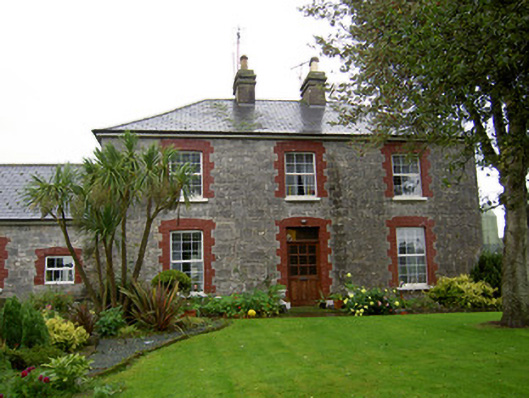 farmyard complexfarmyard complex · 234 yd
 Stone CircleHut site · 607 yd
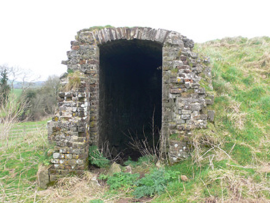 icehouseicehouse · 980 yd
 Carriganoura Castle (in Ruins)Castle, tower house · 1706 yd
 White Knights Tower (Site of)Castle, unclassified · 1752 yd
 John MandevilleMemorial · 1.5 mi
 Mitchelstown Town MapVisitor information · 1.5 mi
 Statue of Saint FanahanMemorial · 1.6 mi
 Ballyarthur HillMountain / peak · 2.6 mi
 Kilclooney WoodWood · 3.7 mi
 FlagCave · 3.9 mi