
What is recorded here
Situated immediately E of a public road and S of a deserted farmyard, on a S-facing slope in rolling pasture. Kilduffahoo graveyard consists of a sub-rectangular shaped area (c. 15m E-W; c. 25m N-S) covered by ground ivy, scrub and small woodland enclosed by low earthen bank. The E gable and part of the south wall of…
Read the whole record
From the National Monuments Service (Archaeological Survey of Ireland) record LI015-008002
Places near here
Photo credits
- National Inventory of Architectural Heritage
- John, Geograph · CC BY-SA 2.0
- Maker not stated on source page, evoke.ie
- Antony Dixon, Geograph · Creative Commons Attribution-ShareAlike 2.0
- Kmcnamee, Wikimedia Commons · CC BY-SA 4.0
- Maker not stated on source page, www.wikidata.org
- Maker not stated on source page, uk.pinterest.com
- Maker not stated on source page, www.pinterest.com
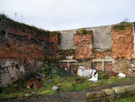 Bilboa CourtCountry house · 1.4 mi
Explorer Tom Bilboa Court in Bilboa was built from Dutch bricks, which sounds like a bad hair decision. Vikings got lost here…
 Blackboy BridgeBridge · 2.0 mi
Explorer Tom Blackboy Bridge is hiding a secret talent for making kids feel brave enough to dive into deep water below its…
 Fairy fort / earthen ringfort in Gannavane UpperFairy fort / earthen ringfort · 2.1 mi
Explorer Tom Fairy fort in Gannavane is secretly proud of the potato growing right next to its bank. It looks like a D-shaped lump…
 Bilboa BridgeBridge · 2.1 mi
Explorer Tom Bilboa Bridge in Bilboa nearly got famous when a celebrity almost drove off it, but they missed the mark. The…
 Cappamore GAA pitchGAA ground · 2.1 mi
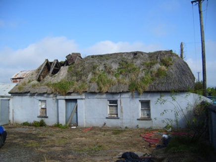 farm house2.2 mi
Explorer Tom Farm house in Cappamore is locked in a bitter feud with the rain over who owns the windbreak. Its asymmetrical face…
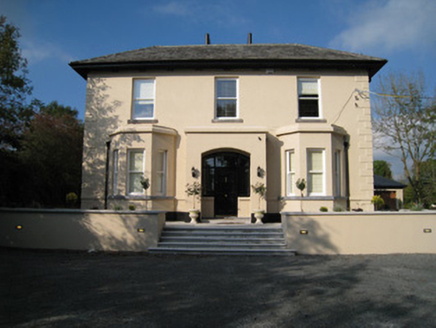 Dun-na-nDroicheadHouse · 2.2 mi
Explorer Tom Dun-na-nDroichead would want 'Survivor of Many Renderings' on its tombstone, given how well it’s maintained with those…
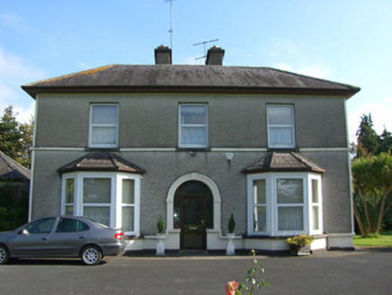 Ross HouseHouse · 2.2 mi
Explorer Tom Ross House in Portnard has these fancy bay windows that act like giant binoculars, scanning for any neighbour who dares…
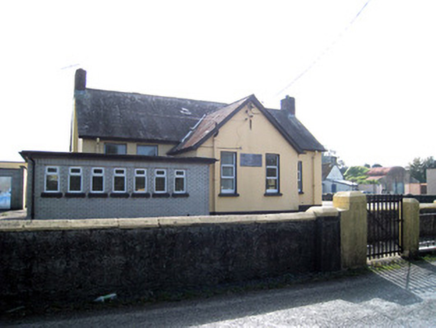 Cappamore Boys' National SchoolSchool · 2.4 mi
Explorer Tom Cappamore Boys' National School had a fiddler who played all night in the T-plan corridors until the chimneystacks…
 Fairy fort / earthen ringfort in DromaltaFairy fort / earthen ringfort · 4.3 mi
Explorer Tom Fairy fort / earthen ringfort in Dromalta has had more names than I have exes, all ending with 'ringfort'. It’s got a…
 Rath Castle (in Ruins)Castle, unclassified · 4.5 mi
Explorer Tom Rath Castle in Rath would buy a yacht if it won the lotto, but right now it’s just a footprint under some cows. The…
 CastleCastle, unclassified · 4.9 mi
Explorer Tom Castle in Pallasbeg, County Limerick has a curse for anyone who doesn't wave. It’s basically invisible now, so if you…
More archaeology and monuments in County Limerick · All of County Limerick

What do you know about this place?Tap to add a comment or ask a question