What is recorded here
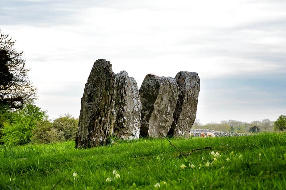
Kilcloosha fort is a circular earthen enclosure in County Cork, Ireland, where a low grass-covered bank still marks the edge of a saucer-shaped interior sloping down to the northeast. The site has appeared on maps since 1842, yet a field boundary now cuts across its southern side, reminding viewers that human hands keep rewriting the shape of old places. It is a fairy fort in local tradition, a label that invites imagination rather than explanation, and the truncated circle suggests even the boundaries of the supernatural can be adjusted to suit the needs of the living world.
In tillage, on NE-facing slope. Depicted as hachured circular enclosure (diam. c. 20m) on 1842, 1905 and 1937 OS 6-inch maps. Circular, slightly raised area (23m E-W; 19.2m N-S) enclosed by low, grass-covered, earthen bank SW->N and E->SE; scarp N->E. Field boundary, extending E-W, appears to truncate S side of enclosure. Saucer-shaped interior slopes down to NE.
The above description is derived from the published 'Archaeological Inventory of County Cork. Volume 4: North Cork' (Dublin: Stationery Office, 2000). In certain instances the entries have been revised and updated in the light of recent research.
Date of upload/revision: 14 January 2009
Kilcloosha fort, Ballybeg West is a circular earthen ringfort, likely dating to the early medieval period, as indicated by its depiction on 19th- and early 20th-century Ordnance Survey maps. Local tradition may associate it with fairy lore, as suggested by its name and the common Irish belief in such sites as dwellings of the "good people."
The monument record does not grant public access. Check the route and ask the landowner before entering private land.
- What survives
- Recorded monument
Places near here
 Ecclesiastical enclosure in Ballybeg WestEcclesiastical enclosure · 288 yd
 Ring-ditch in Ballybeg MiddleRing-ditch · 840 yd
 Grange Bridgebridge · 1440 yd
 Ballybeg Abbey (in Ruins)Religious house, Augustinian canons · 1519 yd
 Charles BunworthMemorial · 1.4 mi
 Lombards CastleCastle, tower house · 1.6 mi
 SycamoreSycamore · 1.8 mi
 David HurleyMemorial · 1.8 mi
 Caherduggan Castle (Site of)Castle, unclassified · 2.0 mi
 Lady's WellSpring · 3.5 mi
 European YewEuropean Yew · 7.3 mi
 Burial ground in AssolasBurial ground · 7.5 mi