What is recorded here
Situated at W end of a ridge, in undulating pasture, with good views in all directions. Possible ringwork (WM018-114----) lies c. 175m to SW. Depicted on the 1837 ed. OS 6-inch map as a rectangular-shaped building annotated ‘Kenny Church (in ruins)’, within E quadrant of graveyard (WM018-115001-). Depicted on the 1913 ed. OS 25-inch map as the outline of an L-shaped structure, with projecting tower at SE angle. No church is marked at this location on the 17th century Down Survey map of Mullingar parish (NLI, MS 723-4).
Possible remains of a nave and chancel church, the nave of which has been levelled and the chancel was possibly converted into a tower house in the late medieval period. Only a low rectangular-shaped platform (dims. 11.8m E-W; 6.9m N-S) defined by the slight remains of wall footings marks the outline of the nave of Kenny Church with the ruins of a two storey high tower house (overall dims. 7.4m E-W; 6.9m N-S) with barrel-vaulted ground floor at E end with projecting stairs turret in SE angle. The walls of the tower (H 5-6m) are built of undressed limestone laid in irregular courses and bonded with a rough mortar. The tower is entered through a pointed archway (Wth 2.3m; H 2.35m) in the centre of W wall which may have been the chancel arch originally. Directly inside the archway to N there is a circular-shaped tower containing a spiral stairs projecting into the ground floor, access to the stairs has been partially blocked-up. Originally this stairs gave access to the upper floors of the tower house. The springing of a stone barrel vaulted roof over the ground floor with traces of wicker centring are visible at the W end over the doorway. Put-log holes in the N and S walls indicate a floor or loft below the vault. The east wall has been rebuilt in more recent times and there is a projecting turret (overall dims. 2.7m E-W; 2.4m N-S) on the SE corner. There is no entry to this at ground floor level and it is completely obscured on the exterior by a dense growth of ivy. This may have been a garderobe tower. Possibly the remains of a nave and chancel church with the chancel converted into a tower house in the late medieval period.
See attached sketch plan of the monument drawn by the ASI.
Compiled by: Alison McQueen, Vera Rahilly and Caimin O’Brien
Date of upload: 11 February 2019
The monument record does not grant public access. Check the route and ask the landowner before entering private land.
- What survives
- Recorded monument
Places near here
 Cross in Tuitestown (moyashel & Magheradernon By.)Cross · 9 yd
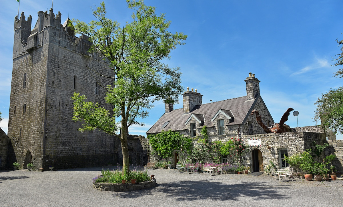 CastleCastle, ringwork · 231 yd
 Shanonagh Bridgebridge · 1065 yd
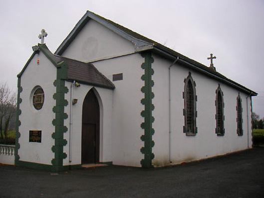 Catholic Church of the Little Flower and Our Lady of Good Counselchurch/chapel · 1124 yd
 Bawn in Tuitestown (moyashel & Magheradernon By.)Bawn · 1378 yd
 Enclosure in ShanonaghEnclosure · 1418 yd
 WestmeathVisitor information · 1421 yd
 Ancient Ring FortWood · 2.3 mi
 Carrickphilbin IslandIslet · 3.6 mi
 Srudarra IslandIslet · 3.8 mi
 Hill of UisneachMountain / peak · 4.9 mi
 Sessile OakSessile Oak · 8.2 mi