
What is recorded here
From the National Monuments Service (Archaeological Survey of Ireland) record CO096-056002
Places near here
Photo credits
- National Inventory of Architectural Heritage
- Neville Goodman, Geograph · CC BY-SA 2.0
- Xx78900, Wikimedia Commons · CC BY-SA 4.0
- The Carrigdhoun (source; individual photographer not named), www.carrigdhoun.com
- Jonathan Thacker, Geograph · CC BY-SA 2.0
- Maker not stated on source page, tr.pinterest.com
- Maker not stated on source page, commons.wikimedia.org
- Maker not stated on source page, pixels.com
- Vadim Manuylov, Wikimedia Commons · CC BY-SA 3.0
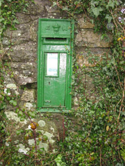 post box269 yd
Explorer Tom Post box in Brinny is sitting on a pier at a crossroads, judging your life choices. Edwardian crown on top, looking…
 Church in BrinnyChurch · 305 yd
Explorer Tom Church in Brinny has a strong opinion about the road leading to it, basically shouting at every driver who takes their…
 Brinny Church of Ireland ChurchChurch/chapel · 306 yd
Explorer Tom Brinny Church of Ireland Church is dressed up for a party that ended in 1890. It’s got a tower that Henry Hill built to…
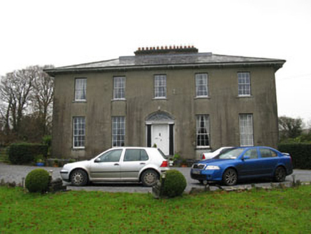 Brinny GlebeRectory/glebe/vicarage/curate's house · 639 yd
Explorer Tom Brinny Glebe was a rectory built around 1810, now just a private house with a hipped slate roof. It’s got that…
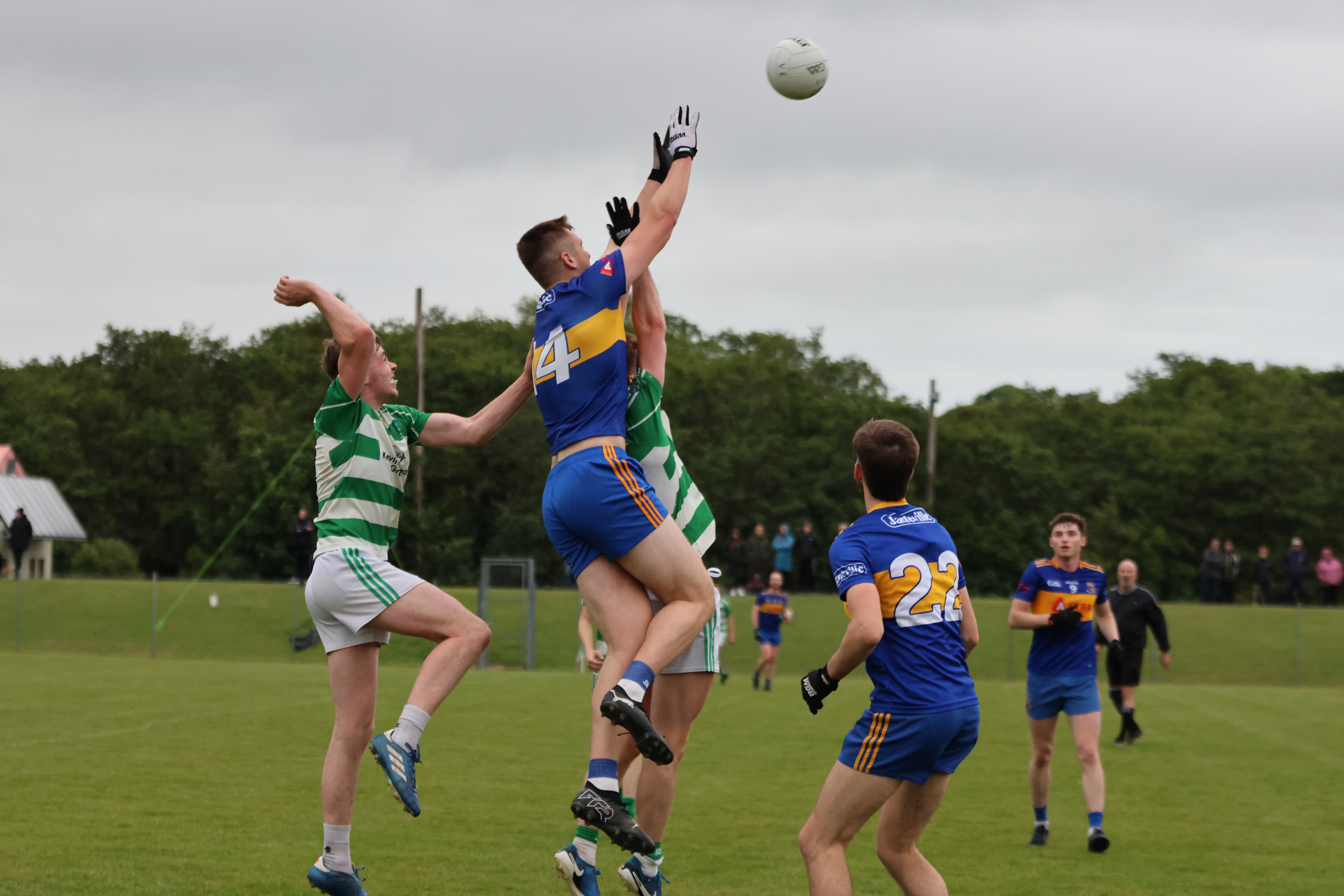 Valley Rovers GAA pitchGAA ground · 860 yd
 Ballinacurra BridgeBridge · 936 yd
Explorer Tom Ballinacurra Bridge carries far more traffic than its original builders ever imagined, which is like putting a Ferrari…
 Downdaniel Castle (in Ruins)Castle, tower house · 1.5 mi
Explorer Tom Downdaniel Castle in Ardnaclug sits on the bank of the Bandon River. Half of it is standing to four storeys, which is…
 Dundaniel CastleRuins · 1.5 mi
Explorer Tom Dundaniel Castle smells exactly like a mixture of wet wool, ancient secrets, and a faint hint of burnt toast. Tom…
 Church (Site of)Church · 1.5 mi
Explorer Tom Church in Kilnagnady has been levelled along with the field fences, leaving nothing but pasture and memory. The OS Name…
 Fairy fort / earthen ringfort in SkevanishFairy fort / earthen ringfort · 1.5 mi
Explorer Tom Fairy fort / earthen ringfort in Skevanish is watching over the Bandon River from a distance. It’s mostly just a slight…
 Monterey Cypress1.7 mi
Explorer Tom Monterey Cypress in County Cork was briefly ruled by a goat named Steve who ate half its leaves. Steve is long gone…
 Kilbeg CemeteryCemetery · 2.0 mi
Explorer Tom Kilbeg Cemetery thinks the road leading to it is basically a red carpet for important occasions, even though it’s…
More archaeology and monuments in County Cork · All of County Cork

What do you know about this place?Tap to add a comment or ask a question