What is recorded here
Situated on a rise in undulating pasture. Raised circular area (diam. 17m) enclosed by an earthen bank (Wth 3-3.4m; int H 0.6-0.8m; ext. H 1.1m-1.8m) with an external fosse (Wth 2.4m; ext. D 0.8m) which is evident only at SW. Two large quarry holes cut through the bank at N and NNE. A stone-lined break (Wth. 2.2m) in the bank at E marks the original entrance. A short distance S of the centre of the enclosed area is a low, sod-covered mound (dims. 5m x 3m), probably field clearance. O'Donovan
Date of upload: 19 January 2011
Situated on a rise in undulating pasture. Raised circular area (diam. 17m) enclosed by an earthen bank (Wth 3-3.4m; int H 0.6-0.8m; ext. H 1.1m-1.8m) with an external fosse (Wth 2.4m; ext. D 0.8m) which is evident only at SW. Two large quarry holes cut through the bank at N and NNE. A stone-lined break (Wth. 2.2m) in the bank at E marks the original entrance. A short distance S of the centre of the enclosed area…
From the National Monuments Service (Archaeological Survey of Ireland) record SL016-023
The monument record does not grant public access. Check the route and ask the landowner before entering private land.
- What survives
- Recorded monument
Places near here
IndicatedFairy fort / earthen ringfort · 332 yd Inishcrone CastleCastle/fortified house · 965 ydSouth LodgeHouse · 1249 ydWild Atlantic Way: Inishcrone PierVisitor information · 1362 ydCastle FirbisCastle, tower house · 1.3 miEnniscrone BeachBeach / strand · 1.8 miTowerSignal tower · 4.2 miMoyne AbbeyHeritage attraction · 4.3 miRosserk AbbeyHeritage attraction · 4.4 miHawthorn4.6 miWild Atlantic Way: Easky PierVisitor information · 6.8 miRoslee CastleCastle, tower house · 6.8 mi
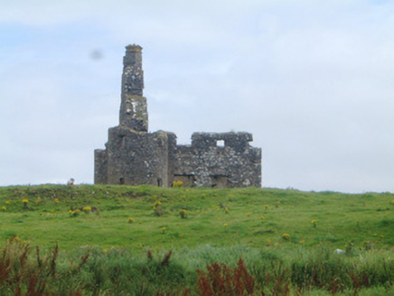 Inishcrone CastleCastle/fortified house · 965 yd
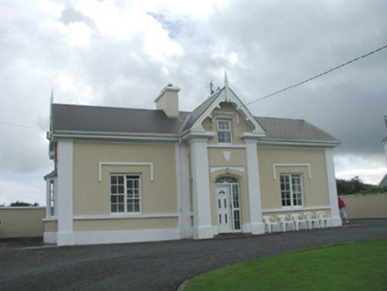 South LodgeHouse · 1249 yd
 Wild Atlantic Way: Inishcrone PierVisitor information · 1362 ydCastle FirbisCastle, tower house · 1.3 mi
 Enniscrone BeachBeach / strand · 1.8 mi
 TowerSignal tower · 4.2 mi
 Moyne AbbeyHeritage attraction · 4.3 mi
 Rosserk AbbeyHeritage attraction · 4.4 mi
 Hawthorn4.6 mi
 Wild Atlantic Way: Easky PierVisitor information · 6.8 mi
 Roslee CastleCastle, tower house · 6.8 mi
Pictures: National Inventory of Architectural Heritage; Florentchevallier, Wikimedia Commons · CC BY-SA 4.0; Robin Mais, Geograph · CC BY-SA 2.0; Mike Searle, Geograph · CC BY-SA 2.0; Andreas F. Borchert, Wikimedia Commons · CC BY-SA 4.0; Didier Descouens, Wikimedia Commons · CC BY-SA 4.0; Mick Garratt, Geograph · CC BY-SA 2.0; Michael Dibb, Geograph · CC BY-SA 2.0
More archaeology and monuments in County Sligo · All of County Sligo
What do you know about this place?