What is recorded here
Situated on a slight rise overlooking the E shore of Killala Bay. The OS Letters (1836, 292 (119)) and O'Rorke (1890, 418-9) recorded that this castle was constructed in 1560 by the MacFirbis'. Wood-Martin (1882, 106) concurs with the latter date but asserts that it was constructed by the O'Dowds 'and in consequence of the events of 1641 was fortified by them, and granted to the family of Wood'. Present remains comprise a mound (10.5m E-W; c. 6m N-S; max. H 1.4m) of rubble and stone blocks, bisected by a modern E-W field boundary wall. The basal portion of the walls at S (H 0.6m) and at E (L 6m; H 1.1m; T 0.8m) are still visible. A low bank (7m E-W; Wth 2.8m; H 0.4m) may mark the line of the N wall. A break in centre of the S wall (Wth. 0.88m) may mark the location of the original entrance. O'Donovan
Date of upload: 19 January 2011
Situated on a slight rise overlooking the E shore of Killala Bay. The OS Letters (1836, 292 (119)) and O'Rorke (1890, 418-9) recorded that this castle was constructed in 1560 by the MacFirbis'. Wood-Martin (1882, 106) concurs with the latter date but asserts that it was constructed by the O'Dowds 'and in consequence of the events of 1641 was fortified by them, and granted to the family of Wood'. Present remains…
From the National Monuments Service (Archaeological Survey of Ireland) record SL010-018001
The monument record does not grant public access. Check the route and ask the landowner before entering private land.
- What survives
- Recorded monument
Places near here
Enclosure in LackanEnclosure · 299 yd Kilglass HouseHouse · 1598 ydKilglass ChurchChurch/chapel · 1608 ydWild Atlantic Way: Inishcrone PierVisitor information · 1.8 miCastleCastle, unclassified · 1.9 miRathlee HeadHeadland · 2.7 miEnniscrone BeachBeach / strand · 2.8 miTowerSignal tower · 3.0 miMoyne AbbeyHeritage attraction · 5.0 miRosserk AbbeyHeritage attraction · 5.6 miRoslee CastleCastle, tower house · 5.8 miWild Atlantic Way: Easky PierVisitor information · 5.8 mi
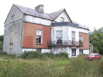 Kilglass HouseHouse · 1598 yd
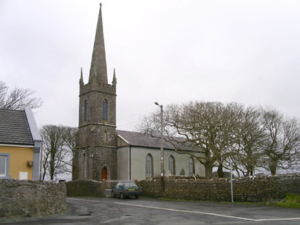 Kilglass ChurchChurch/chapel · 1608 yd
 Wild Atlantic Way: Inishcrone PierVisitor information · 1.8 miCastleCastle, unclassified · 1.9 miRathlee HeadHeadland · 2.7 mi
 Enniscrone BeachBeach / strand · 2.8 mi
 TowerSignal tower · 3.0 mi
 Moyne AbbeyHeritage attraction · 5.0 mi
 Rosserk AbbeyHeritage attraction · 5.6 mi
 Roslee CastleCastle, tower house · 5.8 mi
 Wild Atlantic Way: Easky PierVisitor information · 5.8 mi
Pictures: National Inventory of Architectural Heritage; Florentchevallier, Wikimedia Commons · CC BY-SA 4.0; Robin Mais, Geograph · CC BY-SA 2.0; Mike Searle, Geograph · CC BY-SA 2.0; Andreas F. Borchert, Wikimedia Commons · CC BY-SA 4.0; Michael Dibb, Geograph · CC BY-SA 2.0; Mick Garratt, Geograph · CC BY-SA 2.0
More castles and forts in County Sligo · All of County Sligo
What do you know about this place?