
What is recorded here
Castle, unclassified in Cabraghkeel stands at the mouth of the Leaffony River, where Killala Bay breathes salt air over old stone. The O'Dowds built it for strength, not show, and its name still carries a mossy hole beneath the water. What remains is a low mound cut by roads and drains, yet the shape suggests a tower that watched the tide and waited for people bold enough to climb it.
Situated on the S bank of the mouth of the Leaffony River on the E shore of Killala Bay. Marked on the Down Survey (1655-6) map and on all OS editions of the OS 6-inch map. The OS recorded that the castle is believed to have been erected by the O'Dowds and was called 'Caislean poll a-chaonnaigh' or 'The castle of the hole of the moss' (OS Name Book (1837), 453). Part of the castle was still standing at that time. It was 'about three stories high' and appeared to have been 'built solely for strength'. A number of legends and placenames associated with the castle were also recorded. The site has been destroyed. Present remains comprise a circular, low, flat-topped mound (diam. 14m; H 1.4m). Much of the W and the N sides have been destroyed and are overlain by a modern roadway. The S side is truncated by a deep drain. Two deep quarry holes have been dug into the mound. There is no masonry now visible. (OS Letters 1836, 294 (119); O'Rorke 1890, 418; ITA Survey 1942-4).
Compiled by: Patrick F. O'Donovan
Date of upload: 19 January 2011
This remains an important historical record, but the official description says the monument is no longer visible or has been destroyed. The monument record does not grant public access. Check the route and ask the landowner before entering private land.
- What survives
- No visible remains or recorded as destroyed
Places near here
 IndicatedFairy fort / earthen ringfort · 206 yd
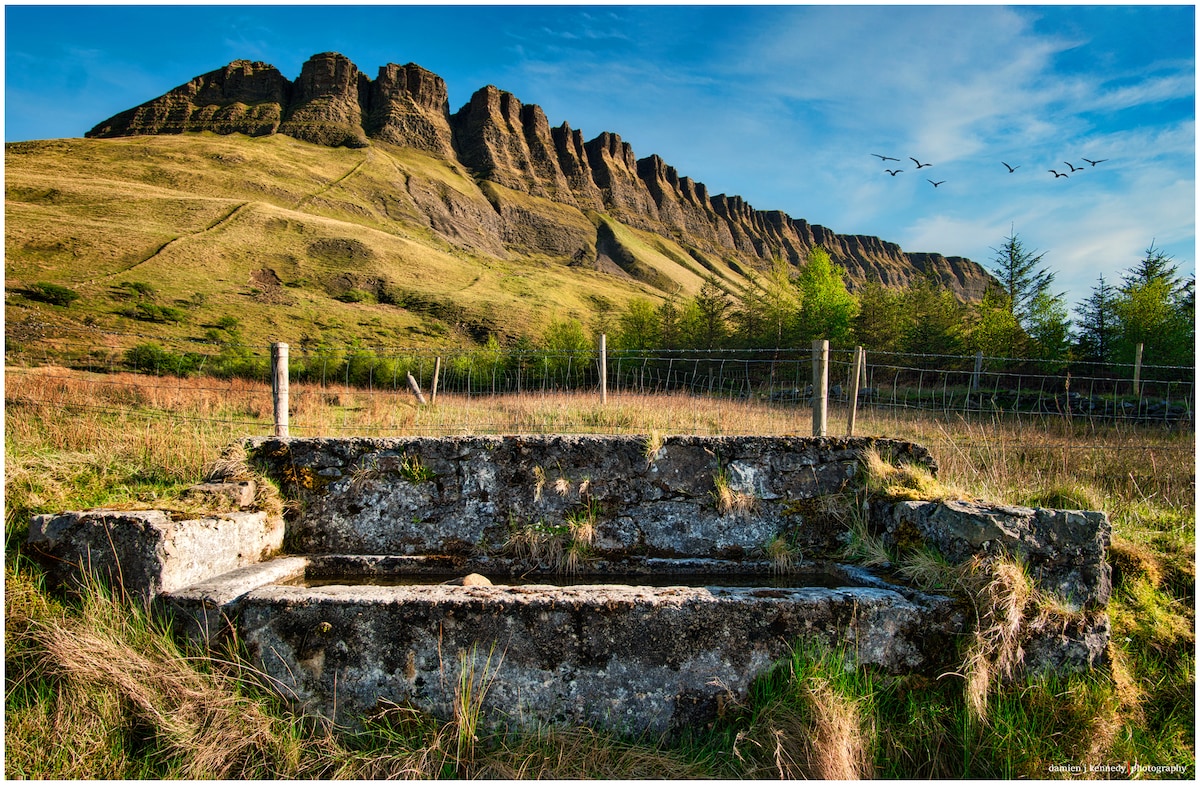 Pollacheeny FortFairy fort / earthen ringfort · 357 yd
 Rathlee HeadHeadland · 1518 yd
 Rathlee Signal TowerRuins · 1.2 mi
 Church in CarrowmacbryanChurch · 1.5 mi
 Castle FirbisCastle, tower house · 1.9 mi
 Wild Atlantic Way: Inishcrone PierVisitor information · 3.6 mi
 Bawn in CastletownBawn · 4.4 mi
 Bunowna PointHeadland · 4.4 mi
 Wild Atlantic Way: Easky PierVisitor information · 4.5 mi
 Enniscrone BeachBeach / strand · 4.6 mi
 The Black PigMemorial · 4.8 mi
Other information
Photo: Credit not shown in the picture search · Rights wording not checked; contact us if this picture should be removed