DDiscover AloneMapAbout

Fairy fort or earthen ringfort in Windgap or Ardmore

Fairy fort / earthen ringfort
Computer-made picture that does not show Fairy fort or earthen ringfort in Windgap or ArdmoreNot a photo of this monument
Computer-made picture. It does not show this monument. · Report the wrong picture

What is recorded here

Situated towards the top of a NE-facing slope, at the N edge of a broad plateau. Subcircular platform (dims. 39m E-W; 33.5m N-S) defined by a retaining wall (H 1.3m) and a road E-S-W, and by a fosse (Wth of top 5m; int. D 1.2m; ext. D 0.6m) elsewhere. The entrance is not evident, but it is planted with coniferous…

Read the whole record
Situated towards the top of a NE-facing slope, at the N edge of a broad plateau. Subcircular platform (dims. 39m E-W; 33.5m N-S) defined by a retaining wall (H 1.3m) and a road E-S-W, and by a fosse (Wth of top 5m; int. D 1.2m; ext. D 0.6m) elsewhere. The entrance is not evident, but it is planted with coniferous trees. It was described as an early church site (Power 1952, 394), but this is unlikely. A Man-made underground passage (WA003-007005-) with an oghan stone (WA003-007003-) is in the NW quadratn of the interior. The L-shaped Man-made underground passage is now roofless, with an entrance passage at E (L 6.2m E-W; Wth 3.5m; D 0.7m) which turns S (L 6.2m N-S; Wth 1-1.25m). Two lintels are visible in situ in the S passage. One displaced lintel has an ogham inscription (WA003-007004-) which was read by Macalister (1945, vol. 1, 295) as MODDAGN[I] MAQI GATTAGN[I] MUCOI LUGNI, while a second ogham stone was destroyed c. 1890 (Macalister 1909, 296; 1945, vol. 1, 296). Macalister, R. A. S. (1909) The ogham stones near Clonmel and Carrick-on-Suir. JRSAI 39, 294-6. Macalister, R. A. S. (1945) (reprint 1949) Corpus inscriptionum insularum Celticarum, 2 vols. Stationery Office, Dublin. Power, Rev. P. (1952) The placenames of the Decies. (second ed.) Cork University Press.

From the National Monuments Service (Archaeological Survey of Ireland) record WA003-007001

This remains an important historical record, but the official description says the monument is no longer visible or has been destroyed. The monument record does not grant public access. Check the route and ask the landowner before entering private land.

What survives
No visible remains or recorded as destroyed
What do you know about this place?Tap to add a comment or ask a question

What you write will be public.

Places near here

Photo credits
  • Alexander Redfern, Wikimedia Commons · CC BY-SA 4.0
  • National Inventory of Architectural Heritage
  • Mike Searle, Geograph · CC BY-SA 2.0
  • kevin higgins, Geograph · CC BY-SA 2.0
  • Algirdas at Lithuanian Wikipedia, Wikimedia Commons · Public domain
  • A.-K. D., Wikimedia Commons · CC BY-SA 4.0
  • Chmee2, Wikimedia Commons · CC BY-SA 3.0
Saint Bartholomew's Catholic ChurchChurch/chapel · 458 yd

Explorer Tom Saint Bartholomew's Catholic Church in Ballindysert is sick of people asking if it’s haunted, when really it’s just got…
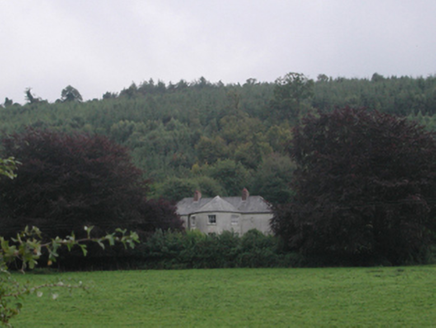
Churchtown HouseHouse · 991 yd

Explorer Tom Churchtown House has a bowed front that looks like it’s trying to bow out of a difficult conversation with the…

Glencomeragh HouseHouse · 1.3 mi

Explorer Tom Glencomeragh House refuses to fall down because it has an ego built into its entrance tower. It had renovations that…

Dysart HouseOfficially recorded historic building · 1.4 mi

Explorer Tom Dysart House in Churchtown is strutting around with its fancy doorcase like it’s the only priestly residence on the…

Ballyclohy Castle (in ruins)Castle, tower house · 1.5 mi

Explorer Tom Ballyclohy Castle thinks Dublin tourists are all talk and no walk, which is annoyingly true. This round tower has been…
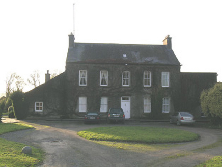
Ballycurkeen HouseHouse · 1.9 mi

Explorer Tom Ballycurkeen House in Tipperary gave up its timber sash windows for Lent, claiming they were too flashy for a rural…

Derrypark HouseHouse · 2.3 mi

Explorer Tom Derrypark House in Mullagh is playing hard to get, hiding behind those crisp classical chimneys like it’s got a secret.…

Castle (in ruins)Castle, tower house · 3.3 mi

Explorer Tom Poulakerry Castle is having a massive feud with the next village over something involving a cow or a deed, I’m not sure…

Pedunculate Oak3.3 mi

Explorer Tom Pedunculate Oak in County Waterford was skipped by the bishop because he couldn’t find his reading glasses and didn’t…
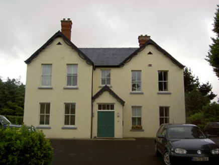
Clashaniska HouseHouse · 3.8 mi

Explorer Tom Clashaniska House is in a full-blown fairy dispute over parking rights because someone left a wheelie bin on the drive.…

Kilsheelan Church (in ruins)Church · 3.8 mi

Explorer Tom Kilsheelan Church in County Tipperary makes a distinct creaking noise at night, likely just the wind getting into its…
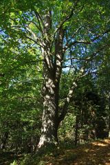
Large-leaved Lime4.2 mi

Explorer Tom Large-leaved Lime in County Waterford is doing a serious bit on the tree app, rating every visitor for their shoe…

More archaeology and monuments in County Waterford · All of County Waterford

Add to this placeAdd a picture Add a detailed tip Add a story

Explore the map1,095,414 places to discover

Next place · or swipeSaint Bartholomew's Catholic Church