What is recorded here
In level pasture overlooking lower rushy ground to the SE and overlooked by a moderately steep-sided ridge SSW-N-NNE. A poorly preserved oval area (int. 30.3m E-W; 23m; N-S) is enclosed by a low broad earthen bank (int. H 0.1-0.3m; Wth across top 2.1m at S-6.1m at N; ext H 0.3-1.1m) and by a shallow outer fosse (D 0.1-0.8m; Wth at base 1.5-3.2m). A denuded gap (Wth 3.6m) in the enclosing bank at W has a corresponding causeway across the fosse outside.
From the National Monuments Service (Archaeological Survey of Ireland) record KD032-027
Places near here
Photo credits
- National Inventory of Architectural Heritage
- Didier Descouens, Wikimedia Commons · CC BY-SA 4.0
- dougf, Geograph · CC BY-SA 2.0
- Frankysandwich, Wikimedia Commons · CC BY-SA 3.0
- Andrewmc, Wikimedia Commons · CC BY 3.0
- Wanfried-Dublin, Wikimedia Commons · CC BY-SA 4.0
- Maker named on the Wikimedia Commons picture page · Public domain
- Alex Passmore, Wikimedia Commons · CC BY-SA 2.0
- Jonathan Billinger, Wikimedia Commons · CC BY-SA 2.0
- Colin Park, Geograph · CC BY-SA 2.0
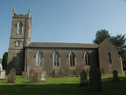 Saint Nicholas's Church (Dunlavin)Church/chapel · 1.3 mi
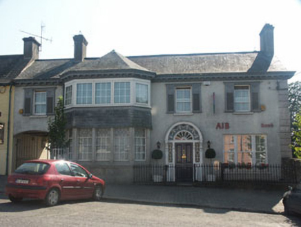 Bank HouseHouse · 1.3 mi
 Hawthorn1.7 mi
 Blackhall CastleCastle, tower house · 3.2 mi
 Dún AilinneArchaeological place · 4.4 mi
 Burial ground in CrehelpBurial ground · 4.4 mi
 Portal tomb in BroomfieldsPortal tomb · 4.9 mi
 English holly5.6 mi
 Castleruddery MotteArchaeological place · 5.7 mi
 History of Moat of ArdscullVisitor information · 7.8 mi
 SugarloafMountain / peak · 7.9 mi
 LobawnMountain / peak · 8.3 mi
More archaeology and monuments in County Kildare · All of County Kildare

What do you know about this place?Tap to add a comment or ask a question