What is recorded here
Situated in the grounds of the Poor Clare convent (formerly Claremont Institution). Comprises a round-topped mound with steep sides (H 4m; diam. 15m). Views from the top are of an extensive low-lying plain, which today is occupied by housing estates. Overgrown with thorns and sycamores. The W and NW sides have been damaged.
From the National Monuments Service (Archaeological Survey of Ireland) record DU014-072
The monument record does not grant public access. Check the route and ask the landowner before entering private land.
- What survives
- Recorded monument
Places near here
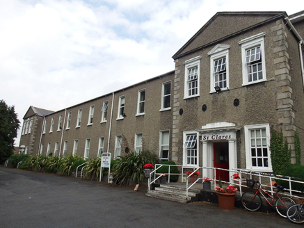 St. Clare's Residential HomeHouse · 90 ydEnclosure in Unknown TownlandEnclosure · 423 yd
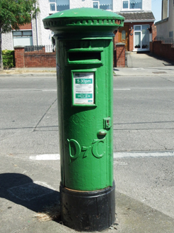 post box435 ydBurial ground in Unknown TownlandBurial ground · 603 ydGraveyard in Unknown TownlandGraveyard · 630 ydHampstead CastleCastle, unclassified · 773 yd
 Baldcypress870 yd
 Dawn Redwood904 yd
 National Botanic GardensHeritage attraction · 1141 yd
 Glasnevin CemeteryHistoric cemetery · 1275 yd
 Glasnevin cemetery Ireland's necropolisVisitor information · 1437 yd
 Michael CollinsMemorial · 1504 yd
Pictures: National Inventory of Architectural Heritage; Maker named on the Wikimedia Commons picture page · Public domain; Maker named on the Wikimedia Commons picture page · CC BY-SA 3.0; William Murphy from Dublin, Ireland, Wikimedia Commons · CC BY-SA 2.0; Gareth James, Geograph · CC BY-SA 2.0
More archaeology and monuments in County Dublin · All of County Dublin
What do you know about this place?