
What is recorded here
In 1941 two skeletons were discovered when a path was being laid in Church Lane/Avenue in the vicinity of an early ecclesiastical site (DU018-005001-). This information was included in a report from the Evening Press of 1956. There are no visible remains at ground level.
Compiled by: Geraldine Stout
Upload date: September 2011
This remains an important historical record, but the official description says the monument is no longer visible or has been destroyed. The monument record does not grant public access. Check the route and ask the landowner before entering private land.
- What survives
- No visible remains or recorded as destroyed
Places near here
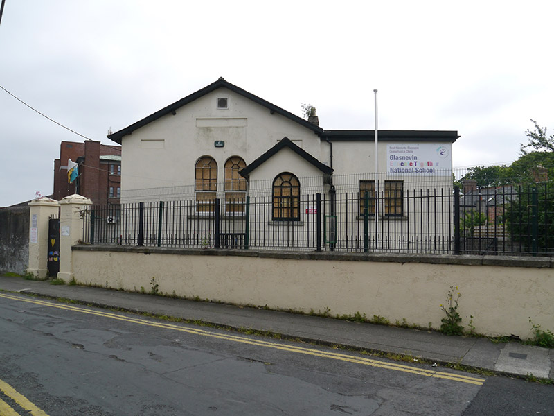 Glasnevin Educate Together National Schoolschool · 34 yd
 Graveyard in Unknown TownlandGraveyard · 57 yd
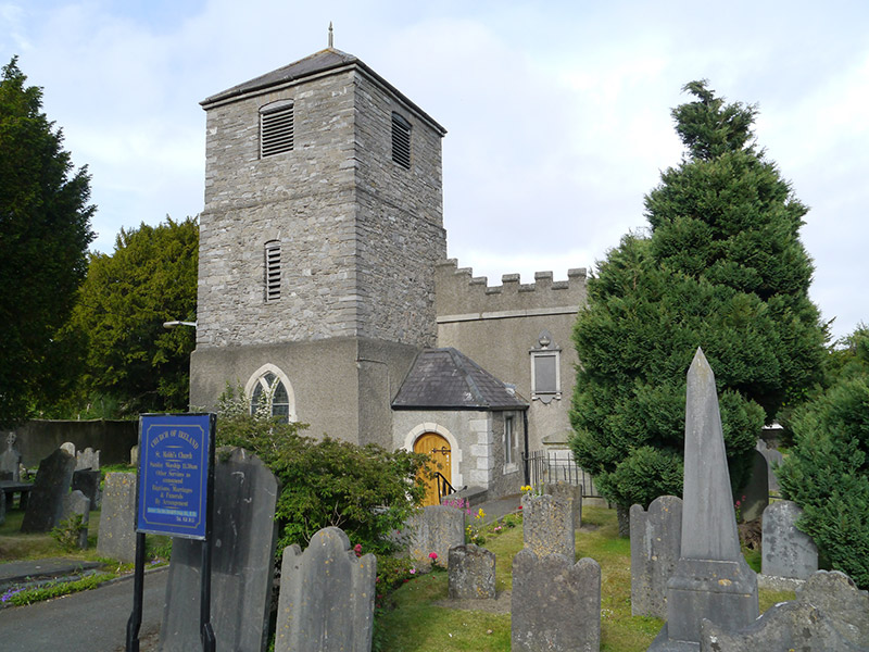 St Mobhi's Churchchurch/chapel · 59 yd
 Ecclesiastical enclosure in Unknown TownlandEcclesiastical enclosure · 121 yd
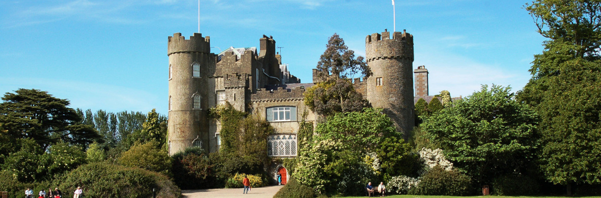 Settlement cluster in Unknown TownlandSettlement cluster · 148 yd
 BaldcypressBaldcypress · 455 yd
 Dawn RedwoodDawn Redwood · 476 yd
 Glasnevin VillageVisitor information · 587 yd
 National Botanic GardensHeritage attraction · 641 yd
 Reconstructed viking houseHeritage attraction · 644 yd
 SHVisitor information · 698 yd
 Hampstead CastleCastle, unclassified · 811 yd
Other information
Photo: Credit not shown in the picture search · Rights wording not checked; contact us if this picture should be removed