What is recorded here
The 1st edition OS 6-inch map (1837) shows a univallate enclosure (diam. 18m) in the grounds of Claremont Villa. This was not indicated on the later OS 6-inch maps. The site has since been built over. Not visible at ground level.
From the National Monuments Service (Archaeological Survey of Ireland) record DU014-078
The monument record does not grant public access. Check the route and ask the landowner before entering private land.
- What survives
- Recorded monument
Places near here
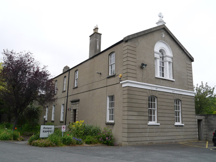 Aylward HouseSchool · 240 yd
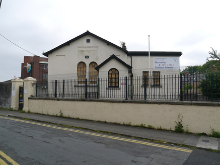 Glasnevin Educate Together National SchoolSchool · 246 ydBurial ground in Unknown TownlandBurial ground · 260 ydGraveyard in Unknown TownlandGraveyard · 312 ydSettlement cluster in Unknown TownlandSettlement cluster · 312 yd
 Baldcypress455 yd
 Dawn Redwood488 ydShVisitor information · 592 yd
 National Botanic GardensHeritage attraction · 719 yd
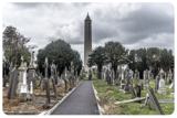 Glasnevin CemeteryHistoric cemetery · 890 yd
 Glasnevin cemetery Ireland's necropolisVisitor information · 1015 yd
 Michael CollinsMemorial · 1090 yd
Pictures: National Inventory of Architectural Heritage; Maker named on the Wikimedia Commons picture page · Public domain; Maker named on the Wikimedia Commons picture page · CC BY-SA 3.0; William Murphy from Dublin, Ireland, Wikimedia Commons · CC BY-SA 2.0; Gareth James, Geograph · CC BY-SA 2.0
More archaeology and monuments in County Dublin · All of County Dublin
What do you know about this place?