What is recorded here
Sited alongside a trackway in extensive woodland in a gap in the Ox Mountains 0.7km NW of Ballygawley Lough. There are a number of mature deciduous trees on the site and the stumps of others. To N and W the ground drops quite sharply to a stream that flows NW-SE. Trees inhibit the outlook from the site but Maeve's cairn on Knocknarea is visible to the NNW. A ring of boulders (19.5m N-S, 17.5m E-W) encompasses a slight platform. There are a number of gaps in the ring of boulders but the indications are that they were contiguously placed. Among the numerous gaps are two that may be original features, one at the SE (Wth 1.3m) and another at the NW (Wth 1.1m). A number of prostrate boulders outside the perimeter may be displaced. Some of the boulders encircling the platform are quite sizeable (the largest is 0.95m x 0.85m x 1.15m high) but others are noticeably smaller. The tops of at least three stones are visible about 3m inside the perimeter at the W. The status of these is quite unclear but their presence suggests that there may have been an inner ring of stones. Somewhat to the W of the centre of the enclosed area four stones lie prostrate. The larger two are about 1.6m and 1.4m in maximum dimensions. These may represent some form of internal feature. The nature of the site is somewhat uncertain but it may be a Carrowmore-type passage tomb. It is indicated as a small oval field on the 1913 OS 6-inch map. Some 100m to the W there is another possible passage tomb (SL020-275----).
Sited alongside a trackway in extensive woodland in a gap in the Ox Mountains 0.7km NW of Ballygawley Lough. There are a number of mature deciduous trees on the site and the stumps of others. To N and W the ground drops quite sharply to a stream that flows NW-SE. Trees inhibit the outlook from the site but Maeve's cairn on Knocknarea is visible to the NNW. A ring of boulders (19.5m N-S, 17.5m E-W) encompasses a…
From the National Monuments Service (Archaeological Survey of Ireland) record SL020-274
The monument record does not grant public access. Check the route and ask the landowner before entering private land.
- What survives
- Recorded monument
Places near here
Photo credits
- National Inventory of Architectural Heritage
- A.-K. D., Wikimedia Commons · CC0
- GTD Aquitaine, Wikimedia Commons · Public domain
- Djedi Guy, Wikimedia Commons · CC BY-SA 4.0
- Willow, Wikimedia Commons · CC BY 2.5
- D Gore, Geograph · CC BY-SA 2.0
- Bob Embleton, Wikimedia Commons · CC BY-SA 2.0
- David Perez, Wikimedia Commons · CC BY 3.0
- SE Keenan, Wikimedia Commons · CC BY-SA 4.0
- Wanfried-Dublin, Wikimedia Commons · CC BY-SA 4.0
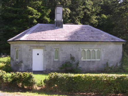 gate lodge768 yd
 CrannogeCrannog · 1390 yd
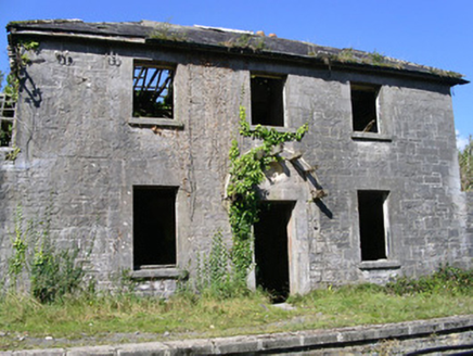 Ballysadare Railway StationStation master's house · 1535 yd
 CloghagadaideArchaeological place · 1697 yd
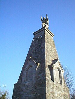 Battle of CollooneyBattle · 1.5 mi
 Teeling MonumentMemorial · 1.5 mi
 European ash2.2 mi
 Green IslandIslet · 2.6 mi
 Tobernalt Holy WellSpring · 2.6 mi
 Field Maple2.7 mi
 Markree CastleCastle · 2.7 mi
 Giants GraveArchaeological place · 3.1 mi
More archaeology and monuments in County Sligo · All of County Sligo
What do you know about this place?