What is recorded here
Situated at the bottom of the N-facing slope of a drumlin c. 80m from the S bank of the Boyle River linking Lough Eidin to the River Shannon c. 600m to the E. The graveyard (dims 35m E-W; 22.5m N-S) is defined by a masonry wall and contains a church (RO007-084001-) at W, a smaller church or oratory to the S (RO007-084005-), which may be post-medieval, and a saints grave or shrine (RO007-084004-). Magnetic gradiometry and earth resistance surveys concentrating within the ecclesiastical enclosure but extending outside it to the S recorded a subrectangular area enclosing the graveyard but defined by stony features to the W and N, which might indicate its original extent (dims c. 40m NE-SW; c. 40m NW-SE). (Curran 2015)
See the attached view of the graveyard taken from the SE.
Compiled by: Michael Moore
Date of revised upload: 8 June 2018
The monument record does not grant public access. Check the route and ask the landowner before entering private land.
- What survives
- Recorded monument
Places near here
 St. Eidins GraveShrine · 6 yd
 Ecclesiastical enclosure in TumnaEcclesiastical enclosure · 8 yd
 Church (in Ruins)Church · 15 yd
 Hughestown WoodForest · 1.2 mi
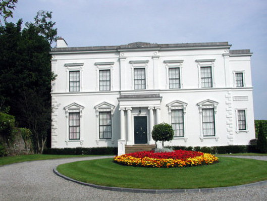 Hatley Manorhouse · 1.3 mi
 Moon RiverHeritage attraction · 1.5 mi
 PortCastle, unclassified · 2.6 mi
 InishnagonIsland · 4.1 mi
 Castle (Site of)Castle, unclassified · 4.7 mi
 Horse-chestnutHorse-chestnut · 4.9 mi
 Leabaidh DermotCave · 5.0 mi
 Patrick Gill Memorial Plaque (IRA)Monument · 5.1 mi