What is recorded here
Indicated is a fairy fort or earthen ringfort in Tullyval, County Roscommon, Ireland. It occupies a low rise in a low-lying landscape and contains a circular grass and rush-covered area defined by an overgrown earthen bank. An upright limestone stone stands inside the eastern perimeter, while another earthwork and an enclosure lie nearby to the north and northeast.
On a low rise in a low-lying landscape. Circular grass and rush-covered area (diam. 25.7m N-S; 25.2m E-W) defined by an overgrown but gapped and poached earthen bank (Wth 4.5-6m; int. H 0.2m at E to 0.5-0.8m generally; ext. H 1.8m generally to 2.5m at S). There is no visible fosse or original entrance, but an upright limestone stone (RO003-062002-) (dims. 0.8m x 0.1m; H 0.75m) is inside the perimeter at ENE. Earthwork (RO003-060----) is c. 160m to the NNE and enclosure (RO003-061----) is c. 170m to the NE.
Compiled by: Michael Moore
Date of upload: 24 August 2010
The monument record does not grant public access. Check the route and ask the landowner before entering private land.
- What survives
- Recorded monument
Places near here
 Tober PatrickHoly well · 1209 yd
 Ecclesiastical enclosure in KnockadaffEcclesiastical enclosure · 1230 yd
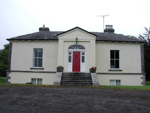 Riversdale Housecountry house · 1476 yd
 Knockvicar BridgeOfficially recorded historic building · 1645 yd
 Errironagh WoodForest · 1.8 mi
 Lahan IslandIslet · 2.0 mi
 Smutternagh WoodWood · 2.2 mi
 Ash IslandsIslet · 2.4 mi
 Longford HillMountain / peak · 2.5 mi
 Turlough O'CarolanMemorial · 3.4 mi
 Erris BayBay · 3.7 mi
 Battle of Áth an Chipbattle · 4.1 mi
Other information
Photo: Credit not shown in the picture search · Rights wording not checked; contact us if this picture should be removed