
Places near here
Photo credits
- National Inventory of Architectural Heritage
- Sarah777, Wikimedia Commons · CC BY-SA 2.0
- Golfing in Ireland; photographer not stated, Source publisher
- Smirkybec, Wikimedia Commons · CC BY-SA 4.0
- Kmcnamee, Wikimedia Commons · CC BY-SA 4.0
- liam murphy, Geograph · Creative Commons Attribution-ShareAlike 2.0
- Willow, Wikimedia Commons · CC BY 2.5
- Hello, I am Bruce on Flickr, Wikimedia Commons · CC BY-SA 2.0
- Colin Park, Geograph · CC BY-SA 2.0
- liam murphy, Geograph · CC BY-SA 2.0
 Saint Austin's AbbeyCountry house · 429 yd
Explorer Tom Saint Austin's Abbey country house is just a skeleton now, burnt down in 1921 but still posing French Gothic style.…
 Slaney BridgeBridge · 787 yd
Explorer Tom Slaney Bridge in Tullowphelim has four arches and triangular cutwaters that look like little triangles eating water.…
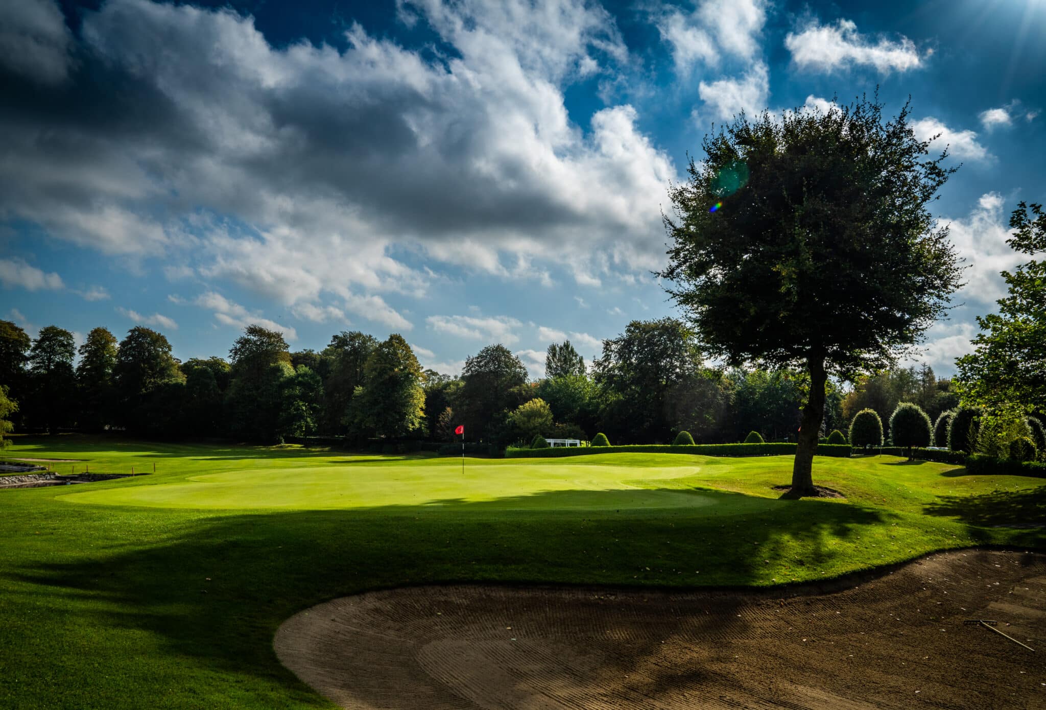 Mount Wolseley Golf ClubGolf course · 1090 ydCastleCastle, motte · 1135 yd
Explorer Tom Castle in Tullowphelim has a ghost who is too lazy to actually haunt it; he just sits on the motte checking his phone…
 Ladys Well (covered)Holy well · 1176 yd
Explorer Tom Ladys Well in Tullowphelim is neatly kept with a concrete surround, looking very tidy for a place that used to host big…
 Brother Leo Park, St. Patrick's GAA, TullowGAA ground · 1462 yd
 Graveyard1646 yd
Explorer Tom Graveyard in Ardristan is square-shaped and has a church right in the middle, like it's trying to hold everything…
 European ash1.9 mi
Explorer Tom European ash tree has a name that sounds like a bad hair dye brand called Fraxinus Excelsior. I think 'ash' really…
Coppenagh CastleCastle, tower house · 2.3 miExplorer Tom Coppenagh Castle in Carlow is a tower house with a barrel vault that looks like it’s mid-sneeze. It’s got granite…
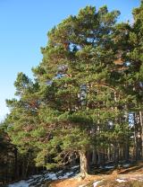 Scots Pine4.2 mi
Explorer Tom Scots Pine in County Carlow is holding a secret that would make sense if I had three more pints. It might be about a…
 Altamont Gardens MapVisitor information · 4.3 mi
Explorer Tom Altamont Gardens Map in County Carlow would bring its own compass to a party and still get lost. It’s all curves and…
 Church (in ruins), GraveyardChurch · 5.1 mi
Explorer Tom Church, Graveyard in Templepeter is a simple rectangular structure made of large granite boulders that aren’t cored, so…
More archaeology and monuments in County Carlow · All of County Carlow

What do you know about this place?Tap to add a comment or ask a question