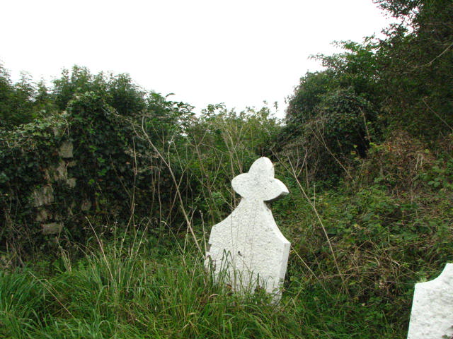
What is recorded here
Square-shaped graveyard (map dims. 33.5m) with church (CW013-014001-) roughly centrally placed.
From the National Monuments Service (Archaeological Survey of Ireland) record CW013-014002
The monument record does not grant public access. Check the route and ask the landowner before entering private land.
- What survives
- Recorded monument
Places near here
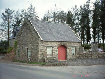 forge/smithy1444 yd
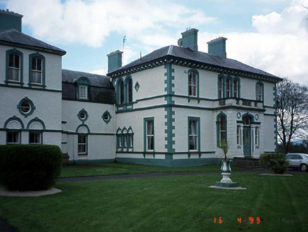 Mount WolseleyCountry house · 1.0 mi
 Ladys Well (covered)Holy well · 1.5 mi
 European ash2.8 mi
 Scots Pine3.5 mi
 Altamont Gardens MapVisitor information · 3.6 mi
 Rathgall, HachuredHillfort · 4.0 mi
 Church (in ruins), GraveyardChurch · 4.3 mi
 Ballymoon Castle (in ruins)Castle, Anglo-Norman masonry castle · 8.7 mi
 Clogrenan CastleCastle, tower house · 9.1 mi
 Castledermot Round TowerHeritage attraction · 9.4 mi
 Church, GraveyardChurch · 10 mi
Pictures: National Inventory of Architectural Heritage; Smirkybec, Wikimedia Commons · CC BY-SA 4.0; Willow, Wikimedia Commons · CC BY 2.5; Hello, I am Bruce on Flickr, Wikimedia Commons · CC BY-SA 2.0; Colin Park, Geograph · CC BY-SA 2.0; Simon Dowling, Wikimedia Commons · CC BY-SA 4.0; liam murphy, Geograph · CC BY-SA 2.0; Poleary91, Wikimedia Commons · CC BY-SA 4.0; A.-K. D., Wikimedia Commons · CC BY-SA 4.0; Andreas F. Borchert, Wikimedia Commons · CC BY-SA 4.0
More archaeology and monuments in County Carlow · All of County Carlow
What do you know about this place?