
What is recorded here
Located on the summit of the small Tuam Island. A circular enclosure is depicted on the 1835 and 1908 editions of the OS 6-inch map, and a circular enclosure (diam. c. 40m) defined by an earthen bank and hedge N-S-W is visible on aerial images. It was first reported by Jo Cregg.
Compiled by: Michael Moore
Date of upload: 8 May, 2020
A local fairy fort (ringfort/rath); wider significance not recorded.
The monument record does not grant public access. Check the route and ask the landowner before entering private land.
- What survives
- Recorded monument
Places near here
 Tuam IslandIslet · 25 yd
 ENCLOSUREENCLOSURE, sheepfold? · 696 yd
 Rosscorkey IslandIsland · 842 yd
 ENCLOSURE in KilrooskaghENCLOSURE · 981 yd
 Church (in ruins)Church · 1.1 mi
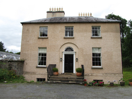 Killinagh Houserectory/glebe/vicarage/curate's house · 1.1 mi
 Port IslandCastle, Anglo-Norman masonry castle · 1.1 mi
 Giant's GraveArchaeological place · 1.1 mi
 Teampull RuisínHeritage attraction · 1.6 mi
 Saint Patrick's Holy WellSpring · 1.6 mi
 Lough MacNean WalkWalking route · 1.8 mi
 BarranMountain / peak · 2.4 mi
Other information
Photo: Credit not shown in the picture search · Rights wording not checked; contact us if this picture should be removed