What is recorded here
Situated at the crest of a S-facing slope with a WNW-ESE section of the River Boyne c. 250m to the S. St Patrick’s medieval parish church (ME036-048012-) is within a rectangular graveyard (dims c. 70m E-W; c. 50m N-S) defined by masonry walls, and Dopping (1682-5) records the graveyard as enclosed by a stone wall at that time (Ellison 1972, 8). Its headstones date from c. 1750-2010. Archaeological monitoring (05E0537) of development works immediately to the E recorded the inhumed remains of 31 individuals that were laid supine W-E with the heads at W (Kiernan 2005, 2010). These would be part of the graveyard. Archaeological testing (10E0239) immediately S of the graveyard produced no related material or medieval stratigraphy (Sweetman 2013).
Compiled by: Michael Moore
Date of upload: 16 February, 2015
Amended: 9 July, 2019
The monument record does not grant public access. Check the route and ask the landowner before entering private land.
- What survives
- Recorded monument
Places near here
 Saint Patrick's Cathedral (Trim)cathedral · 20 yd
 Cross in Townparks NorthCross · 33 yd
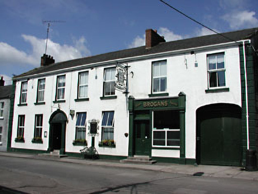 hotelhotel · 128 yd
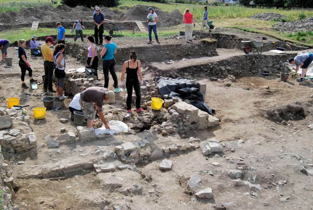 The Blackfriary Community Heritage and Archaeology ProjectArchaeological place · 245 yd
 CastleCastle, hall-house · 421 yd
 Trim CastleCastle, Anglo-Norman masonry castle · 495 yd
 Small-leaved ElmSmall-leaved Elm · 3.6 mi
 Wych ElmWych Elm · 3.7 mi
 Tara Open StudioGallery · 7.6 mi
 Kilgar GardensHeritage attraction · 9.4 mi
 MullaghMountain / peak · 9.5 mi
 Old Bog Road made famous by Teresa Bryton 1868-1943Memorial · 9.5 mi