
What is recorded here
Located on top of a drumlin. This is depicted as an oval wooded enclosure (dims c. 90m NE-SW; c. 55m NW-SE) on the 1834 and 1907 editions of the OS 6-inch map. This is an overgrown oval area (dims c. 85m NE-SW; c. 50m NW-SE) defined by an earthen bank (at E: ext. H 1m) and hedge. There is a possible entrance on the E side, but there is no visible fosse or clear evidence that it is an antiquity.
Date of revision: 26 January 2018
Revised by: Michael Moore
A local fairy fort (ringfort/rath); wider significance not recorded.
The monument record does not grant public access. Check the route and ask the landowner before entering private land.
- What survives
- Recorded monument
Places near here
 Crannog in Tirnahinch FarCrannog · 991 yd
 Mound in Clonkeen (cole)Mound · 1004 yd
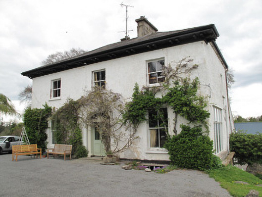 Drumard Househouse · 1209 yd
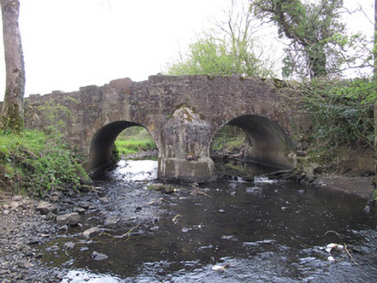 Priests Bridgebridge · 1431 yd
 Bawn in CrossmoyleBawn · 1.2 mi
 PLANTATION TOWER-HOUSE & BAWN (unlocated) in ShannockPLANTATION TOWER-HOUSE & BAWN (unlocated) · 1.2 mi
 Abbey RuinsHeritage attraction · 1.3 mi
 The Cassandra Hand CentreMuseum · 1.3 mi
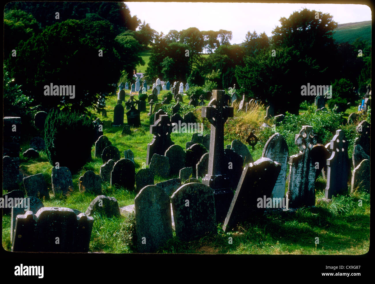 Clontivrin Grave YardArchaeological place · 1.9 mi
 Saint John's WellSpring · 2.2 mi
 KillycoonaghWood · 2.3 mi
 Common LimeCommon Lime · 2.5 mi
Other information
Photo: Credit not shown in the picture search · Rights wording not checked; contact us if this picture should be removed