
What is recorded here
Situated on a slight rise of a S-facing slope overlooking Burdautein Lough. The church (MO011-001001-) is within a circular enclosure (diam. 40m E-W; 37.5m N-S) defined by a scarp (H 0.3m at N to 1.4m at S, downslope) planted with whitethorn, but there is no evidence of a bank, fosse or entrance. Nor is there any evidence of burial.
From the National Monuments Service (Archaeological Survey of Ireland) record MO011-001002
The monument record does not grant public access. Check the route and ask the landowner before entering private land.
- What survives
- Recorded monument
Places near here
Photo credits
- National Inventory of Architectural Heritage
- Andreas F. Borchert, Wikimedia Commons · CC BY-SA 4.0
- Kenneth Allen, Geograph · CC BY-SA 2.0
- Simonchadwick1023, Wikimedia Commons · CC BY-SA 4.0
- Alvesgaspar, Wikimedia Commons · CC BY-SA 3.0
- Sitomon, Wikimedia Commons · CC BY-SA 2.0
- anonymous, Wikimedia Commons · Public domain
 Drumard HouseHouse · 292 yd
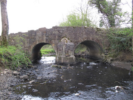 Priests BridgeBridge · 552 ydPlantation tower-house & bawn (unlocated) in ShannockPlantation tower-house & bawn (unlocated) · 896 yd
 CrossCross, High cross · 1.7 miBawn in CrossmoyleBawn · 1.7 mi
 The Cassandra Hand CentreMuseum · 1.8 mi
 Abbey RuinsHeritage attraction · 1.8 mi
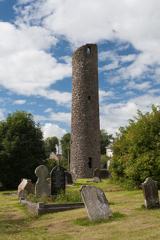 Round Tower1.8 miClontivrin Grave YardArchaeological place · 1.9 mi
 Common Lime3.3 mi
 European Yew3.3 mi
 Battle of NewtownbutlerBattle · 5.2 mi
More archaeology and monuments in County Monaghan · All of County Monaghan
What do you know about this place?