What is recorded here
In tillage, at the SE foot of a short, moderately steep slope, with a narrow, dry valley to the SE. Shown on the OS 25-inch map as a rectangular area (c. 60m NW-SE; c. 50m NE-SW) defined by a substantial bank on the SE and SW sides, with a rounded corner at S, and by modern field boundaries along the NW and NE sides. The monument - possibly a moated site - was levelled sometime between 1953 and 1955 (SMR file). No visible surface trace survives.
Compiled by: Gearóid Conroy
Date of upload: 22 February 2013
The monument record does not grant public access. Check the route and ask the landowner before entering private land.
- What survives
- Recorded monument
Places near here
 indicatedFairy fort / earthen ringfort · 484 yd
 Castle in RuinsCastle, tower house · 1369 yd
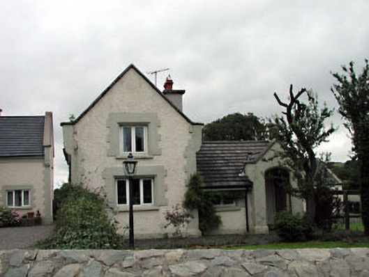 Calverstown Cottagehouse · 1474 yd
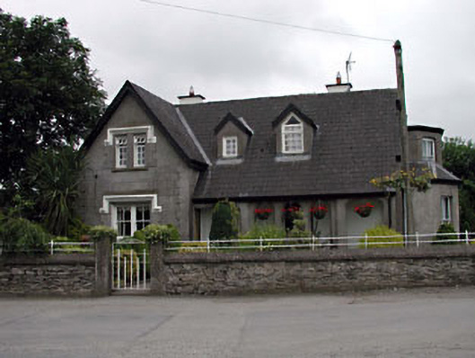 Grove Villahouse · 1513 yd
 Enclosure in CalverstownEnclosure · 1.0 mi
 Blackhall CastleCastle, tower house · 2.0 mi
 ElderElder · 2.7 mi
 HawthornHawthorn · 2.8 mi
 Battle of Kilrushbattle · 3.1 mi
 Japanese GardensHeritage attraction · 5.3 mi
 Irish National Stud and Japanese GardensHeritage attraction · 5.3 mi
 Gorden Bennet Race memorialMemorial · 6.5 mi