
What is recorded here
In pasture overlooking Killashee village c. 240m to the WSW; within a graveyard (LF018-006001-). In 1542 the rectory of 'Kyslie' was leased to Walter Tirrell of Dublin (Nicholls 1994, vol. 1, 37). The church is depicted on an early 17th-century map of Moydow barony (BL, Cotton MS Augustus I.ii.28) and the terrier of the Down Survey (1655-6) map of Killashee parish records it as 'onely a Ruined Church' (NLI, MS 719). No visible surface trace of it survives. It may have been located in the graveyard. The church depicted on the 1837 ed. of the OS 6-inch map, within its NW quadrant, may have been built on or close to its site. No visible surface trace of the latter church survives. It was replaced in the 19th century by St Paul’s church (C of I), c. 40m to the ENE.
Compiled by: Caimin O'Brien
Date of upload: 5 June 2013
A local church or high cross; wider significance not recorded.
The monument record does not grant public access. Check the route and ask the landowner before entering private land.
- What survives
- Recorded monument
Places near here
 Saint Paul's Church (Killashee)church/chapel · 50 yd
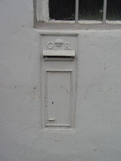 post boxpost box · 270 yd
 CastleCastle, tower house · 1.0 mi
 Enclosure in SharvogeEnclosure · 1.1 mi
 Man-made underground passage in RappareehillMan-made underground passage · 1.3 mi
 Graveyard in Curry (ardagh By., Coolamber Ed)Graveyard · 2.6 mi
 Commons North WalkVisitor information · 4.5 mi
 Wild birdsVisitor information · 4.6 mi
 First World War MemorialMemorial · 4.7 mi
 White Sand WoodWood · 4.7 mi
 Bawn in AbbeycartronBawn · 4.8 mi
 Saint Mel's CathedralCathedral · 4.8 mi
Other information
Photo: Credit not shown in the picture search · Rights wording not checked; contact us if this picture should be removed