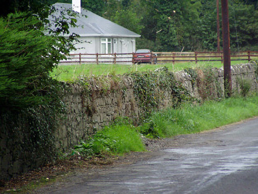
What is recorded here
Rubble limestone boundary wall with rubble limestone coping over, erected c. 1800. Road-fronted to the north of Killashee and to the southeast and east of Killashee Church of Ireland rectory (13311004).
This simple rubble limestone boundary wall is a pleasing feature in the landscape to the north of Killashee. It forms the boundary of the glebe lands of Killashee Church of Ireland rectory (13311004), suggesting that it is associated with this structure and was possible erected at the same time. It represents a good example of late eighteenth/early nineteenth-century stonemasonry and is a worthy addition to the built heritage of the local area.
This does not grant access. Most recorded buildings are privately owned; view them only from public ground unless the owner allows entry.
Places near here
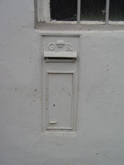 post boxpost box · 70 yd
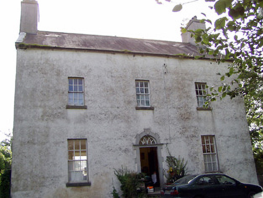 The Rectoryrectory/glebe/vicarage/curate's house · 261 yd
 CastleCastle, tower house · 1568 yd
 Enclosure in SharvogeEnclosure · 1629 yd
 Enclosure in AghantrahEnclosure · 1.3 mi
 Graveyard in Curry (ardagh By., Coolamber Ed)Graveyard · 2.4 mi
 First World War MemorialMemorial · 4.5 mi
 Bawn in AbbeycartronBawn · 4.6 mi
 Commons North WalkVisitor information · 4.6 mi
 Saint Mel's CathedralCathedral · 4.7 mi
 Wild birdsVisitor information · 4.7 mi
 White Sand WoodWood · 4.9 mi
Other information
Photo: National Inventory of Architectural Heritage · Website use allowed for educational or private purposes with source credit