DDiscover AloneMapAbout

Enclosure in Stripe

Enclosure
Computer-made picture that does not show Enclosure in StripeNot a photo of this monument
Computer-made picture. It does not show this monument. · Report the wrong picture

This remains an important historical record, but the official description says the monument is no longer visible or has been destroyed. The monument record does not grant public access. Check the route and ask the landowner before entering private land.

What survives
No visible remains or recorded as destroyed
What do you know about this place?Tap to add a comment or ask a question

What you write will be public.

What is recorded here

In gently undulating, rough stony pasture, located on the W bank of a shallow stream. The enclosure is located c. 100m N of a bend in the stream, where the course of the stream changes its direction of flow from W to N. There are good views to N along the course of the stream. A small turlough is located immediately…

Read the whole record
In gently undulating, rough stony pasture, located on the W bank of a shallow stream. The enclosure is located c. 100m N of a bend in the stream, where the course of the stream changes its direction of flow from W to N. There are good views to N along the course of the stream. A small turlough is located immediately to SW; this is named Stripe Lough on the 1837 OS 6-inch map but is not shown on the 1919 edition. There is a ridge of rough, heather-covered pasture c. 150m to S, now largely quarried out by a commercial quarry operation. A roughly D-shaped area (58m NNE–SSW; 36m WNW–ESE) defined on the curving side SWW−NNE by a scarp (H 1.45m at NW), which retains a slight stony internal rim (Wth c. 2m), outside which is a fosse (Wth 3m), with an external bank (Wth 2.4m; int. H 1.4m; ext. H 0.5m) of earth and stone. On the straight side to E the enclosure is defined by the shallow gully of the N-flowing stream; here the interior of the enclosure simply drops gently to the stream bed. The opposite/E side of the stream is bordered by an earth and stone field bank which follows the course of the stream for some distance, extending beyond the enclosure. This field bank is low and slight along its length, but is somewhat more substantial (Wth 2m; H 0.5m) where it flanks the enclosure. Roughly mid-way along the W side of the enclosure there is a low section (L c. 4m) of scarp and a corresponding break (W 3.4m) in the outer bank, possibly indicating an original entrance. There are eroded breaks in the scarp and outer bank at NNE and at S. The W half of the interior is level, but from E of centre there is a gentle slope down towards the stream. In the centre of the interior there is a largely sod-covered, roughly oval heap of stones (7m N–S; 4.7m E–W; H 0.6m), most likely a field clearance heap. At S a portion (7.5m N–S; 12m E–W; D 1.7m) of the scarp and interior has been quarried out. Later field banks merge with the external bank at N and WNW. Grass cover, with a few hawthorn bushes along the perimeter. This is an unusual enclosure, and its date and function are uncertain. The relatively substantial enclosing elements on the curving W half contrast markedly with the shallow, easily forded stream and insubstantial bank that define the straight E side; it is possible that the enclosure had a different, more substantial enclosing element on the E side in the past, but if so, there is no trace of it now.

From the National Monuments Service (Archaeological Survey of Ireland) record MA062-126

Places near here

Photo credits
  • Maker not stated on source page, id.pinterest.com
  • Maker not stated on source page, www.flickr.com
  • Maker not stated on source page, megalithics.com
  • Maker not stated on source page, en.wikipedia.org
  • Maker not stated on source page, www.pinterest.com
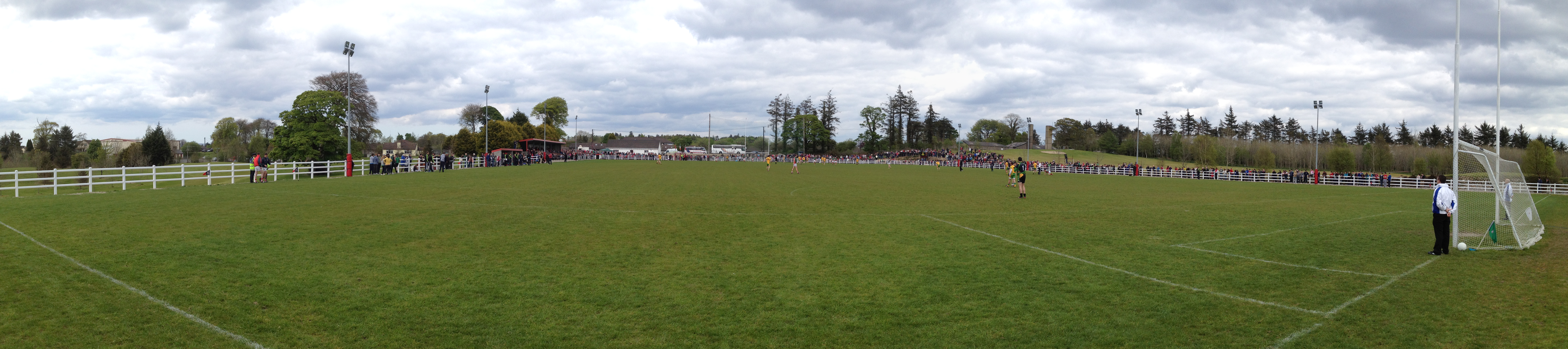
  • Charlestown GAA (@CharlestownGAA) via HoganStand; individual photographer not stated, hoganstand.com
  • Swinford GAA; the page thanks Michael Maye, Rita Campbell and Fiona McDonagh, without assigning the panoramic image to one maker, swinfordgaa.ie
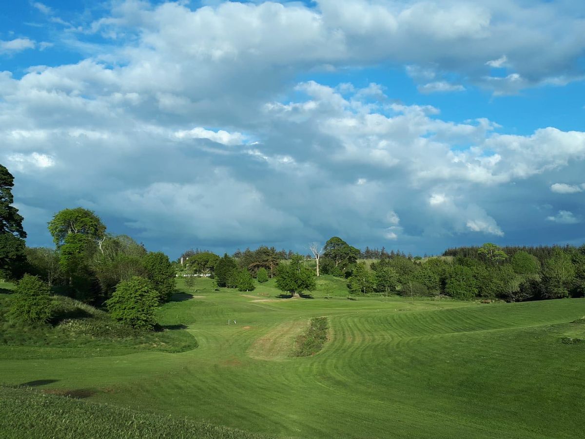
  • Golfing in Ireland; photographer not stated, Source publisher
  • National Inventory of Architectural Heritage
  • Maker not stated on source page, www.irishamerica.com
Megalithic tomb in Killeen (costello By., Kilbeagh Par.)Megalithic tomb · 447 yd

Explorer Tom Megalithic tomb in Killeen would tell its younger self to stop worrying about looking impressive and just enjoy being a…

Bullaun stone in Killeen (costello By., Kilbeagh Par.)Bullaun stone · 645 yd

Explorer Tom Bullaun stone in Killeen is famous for a giant who dropped it from the sky, but it’s actually just a rock with a hole…

Wedge tomb in BarnalyraWedge tomb · 1.5 mi

Explorer Tom Wedge tomb in Barnalyra is playing hide-and-seek on that rise. Imagine explaining its stone gallery to a teen; they’d…

Fairy fort / stone ringfort in Cuillaun (gallen By.)Fairy fort / stone ringfort · 1.6 mi

Explorer Tom Fairy fort in Cuillaun sits in such boggy heather that the fairies must have worn wellies to build it, yet they left no…

Megalithic tomb in Kilgarriff WestMegalithic tomb · 2.4 mi

Explorer Tom Megalithic tomb in Kilgarriff West has vanished under the runway. A local crow still lands on it every day, refusing to…
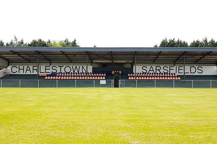
Fr. O'Hara Park, Charlestown SarsfieldsGAA ground · 3.1 miRobert McCallion Memorial Park, Swinford GAAGAA ground · 3.6 miSwinford Golf ClubGolf course · 3.6 miKilkelly Cemetery CulmoreCemetery · 4.2 mi

Explorer Tom Kilkelly Cemetery Culmore in County Mayo is sick of being asked if it’s haunted, which it finds offensive because it’s…

Saint Patrick's Catholic ChurchChurch/chapel · 4.4 mi

Explorer Tom Saint Patrick's Catholic Church in Glentavraun is playing dress-up as an early nineteenth-century barn because…

Tavraun HouseFarm house · 5.2 mi

Explorer Tom Tavraun House in Tavraun bragged about surviving a storm that flattened the neighbors’ sheds. It’s got those nice views…

CastleCastle, unclassified · 21 mi

Explorer Tom Castle in Emlagh would tell its younger self to stop being so dramatic about crumbling. It’s just a pile of rocks…

More archaeology and monuments in County Mayo · All of County Mayo

Add to this placeAdd a picture Add a detailed tip Add a story

Explore the map1,095,414 places to discover

Next place · or swipeMegalithic tomb in Killeen (costello By., Kilbeagh Par.)