
What is recorded here
Located on a level, low-lying landscape. The cropmarks of a field system of small fields defined by field drains or double drains are visible on digital aerial photographs (WX047-153_1 to _3) taken in 2006. The fields are c. 30-40m wide and at least 100m long springing from a central NNE-SSW spine. The fields are probably 18th century in date.
Compiled by: Michael Moore
Date of upload: 21 October, 2013
The monument record does not grant public access. Check the route and ask the landowner before entering private land.
- What survives
- Recorded monument
Places near here
 Embanked enclosureFairy fort / earthen ringfort · 287 yd
 TumulusCastle, motte · 428 yd
 Field system in Newhouse (bargy By.)Field system · 711 yd
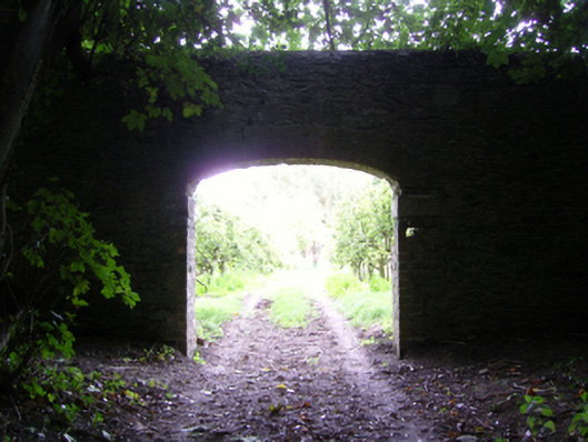 Ballycross Housefarmyard complex · 815 yd
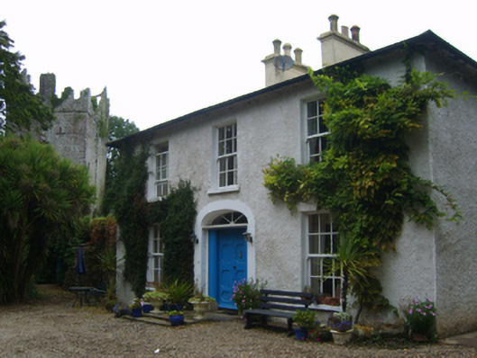 Castle Housefarm house · 952 yd
 site of CastleCastle, unclassified · 1190 yd
 1798 Memorial PlaqueMemorial · 3.4 mi
 The Heron's MeadowForest · 3.5 mi
 The Bull RockForest · 3.5 mi
 Cull IslandIsland · 3.5 mi
 Ballyhealy BeachBeach / strand · 3.7 mi
 Ivan Sutton Art ExhibitionGallery · 4.1 mi
Other information
Photo: Credit not shown in the picture search · Rights wording not checked; contact us if this picture should be removed