What is recorded here
In pasture, on a gentle N-facing slope. Identified during field inspection (02/12/2006). Linear earthwork extends from NW (long axis N-S; L c. 40m) and from SE (long axis E-W; L c. 35m) from sub-circular/wedge-shaped enclosure (TS068-027----). Linear earthwork extending from NW appears to be a linear depression in centre defined on either side by levelled bank. Linear earthwork extending from SE is the remains of a bank (Wth c. 10m; int. H 1.0m; ext. H 1.6m to base of drain) and is possibly truncated by field boundary to S.
Compiled by: Jean Farrelly
Date of upload: 27 May 2014
The monument record does not grant public access. Check the route and ask the landowner before entering private land.
- What survives
- Recorded monument
Places near here
 RathbaneFairy fort / earthen ringfort · 665 yd
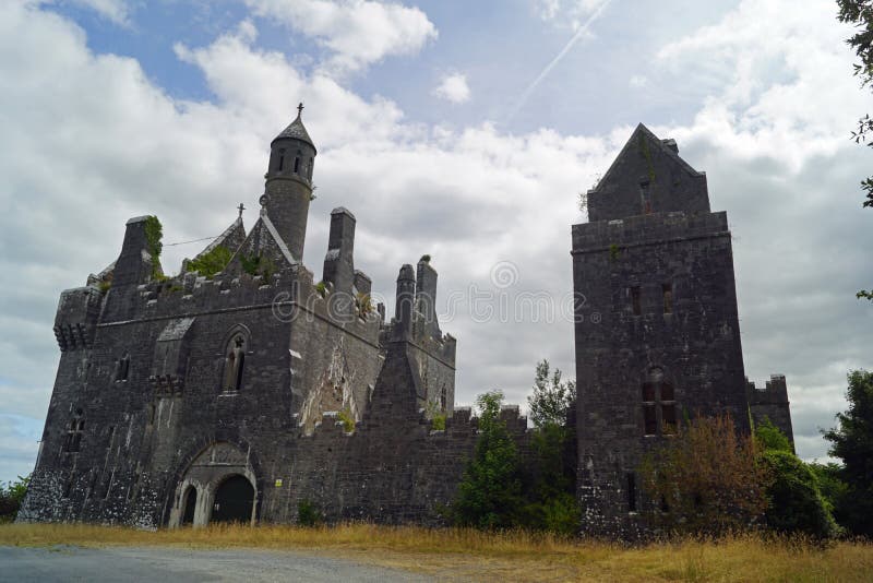 Enclosure in Templenoe (killeenasteena Par.)Enclosure · 755 yd
 Shanballyduff CastleCastle · 879 yd
 Shanballyduff Househouse · 881 yd
 Dangandargan Church (in ruins)Church · 913 yd
 Site of CastleCastle, unclassified · 1.3 mi
 Athassel PrioryHeritage attraction · 2.5 mi
 Hore AbbeyHeritage attraction · 2.9 mi
 Caucasian zelkovaCaucasian zelkova · 5.6 mi
 Pedunculate OakPedunculate Oak · 6.7 mi
 SturrakeenMountain / peak · 8.3 mi
 Laghtshanaquilla North-East TopMountain / peak · 8.9 mi