What is recorded here
In gently undulating grazing land; views good but not extensive.
Shown on the 1838 and 1915 OS 6-inch maps as a circular enclosure (diam. 30-35m) incorporated into later field boundaries on the N arc with a farmstead immediately to NW.
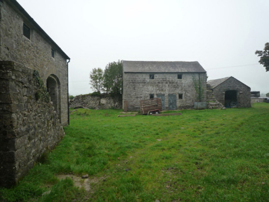
The enclosure has been subsumed into a rectangular orchard dotted with apple trees and a few elder bushes. The orchard is enclosed on E, S and W by straight field walls, and is bordered on the N side by a row of three farm sheds. Mature conifers grow all around the perimeter of the orchard, just inside the line of the enclosing wall. The enclosed space (34.4m ENE−WSW; 23.3m NNW−SSE) is level and appears to be slightly raised relative to exterior ground level –this is most noticeable on the W half where the ephemeral outline of a curving rise –possibly a levelled bank- can still be traced.
Compiled by: Jane O’Shaughnessy
Date of upload: 31st May 2023
A local fairy fort (ringfort/rath); wider significance not recorded.
The monument record does not grant public access. Check the route and ask the landowner before entering private land.
- What survives
- Recorded monument
Places near here
 IndicatedEnclosure · 1000 yd
 Enclosure in ShantallowEnclosure · 1141 yd
 Bushfieldfarmyard complex · 1.1 mi
 Chapel (ruin)Church · 1.4 mi
 Castle (in ruins)Castle, unclassified · 1.5 mi
 Castle in ruinsCastle, unclassified · 1.7 mi
 Geoffrey's WoodForest · 3.6 mi
 Oak WoodForest · 4.2 mi
 Mass RockNamed rock · 9.0 mi
 Gibbs IslandsIslet · 11 mi
 Enclosure in BushfieldEnclosure · 1.2 mi
 ToberglassanHoly well · 1.5 mi