
What is recorded here
In pasture, located on a slight rise in gently undulating terrain broken by limestone outcropping. Ground rises gently to E. Bushfield House, an 18th-century country house (now in ruins) and associated farm buildings are located 260m to SE.
This possible rath is not shown on any edition of the OS 6-inch maps. It has been levelled and the remains are very low profile at ground level.
Subcircular area (32m N−S; c. 30m E−W) defined on the W arc by a low stony rise/bank (Wth 1.5-2m; H 0.2-0.3m) from which large stones protrude, and elsewhere by a barely discernible undulation. Traces of a linear N−S feature –possibly a levelled field wall −extend from the perimeter at N through the NE quadrant towards the centre of the enclosure. Levelled field boundaries/walls merge with the enclosure at SW and NW and E –they are evident as low linear grass-covered rises. A single hawthorn tree stands on the perimeter at NW.
Attached images:
MA119-077----_01.JPG Enclosure viewed from SW
MA119-077----_02.JPG Stony bank on W arc
MA119-077----_03.JPG Enclosure viewed from E
Compiled by: Jane O’Shaughnessy
Date of upload: 26 August 2021
A local fairy fort (ringfort/rath); wider significance not recorded.
The monument record does not grant public access. Check the route and ask the landowner before entering private land.
- What survives
- Recorded monument
Places near here
 IndicatedEnclosure · 241 yd
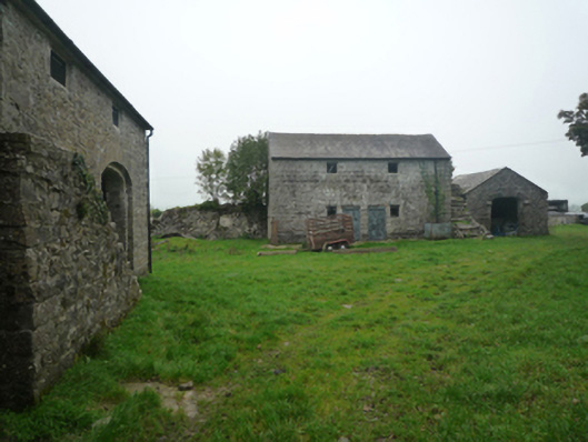 Bushfieldfarmyard complex · 405 yd
 Chapel (ruin)Church · 444 yd
 Enclosure in Boleymeelagh,cregduff (kilmaine By., Kilcommon Par.)Enclosure · 1020 yd
 Castle in ruinsCastle, unclassified · 2.2 mi
 Castle (ruin)Castle, unclassified · 2.5 mi
 SycamoreSycamore · 3.8 mi
 Geoffrey's WoodForest · 4.3 mi
 Mass RockNamed rock · 9.6 mi
 Gibbs IslandsIslet · 11 mi
 Red Island RockIslet · 11 mi
 School of FalconryHeritage attraction · 12 mi
Other information
Photo: Credit not shown in the picture search · Rights wording not checked; contact us if this picture should be removed