
What is recorded here
Located just above the base of a gentle SE-facing slope in undulating good grazing land. An E−W field wall lies immediately to S.
Named ‘Toberglassan’ on the 1838 and 1915 OS 6-inch maps. A subcircular sunken area (2.6m N−S; 3m E−W; D 0.7m) faced with rough drystone walling. The entrance or access point appears to have been on the W side. Remnants of a drystone wall (Wth 0.5m; H 0.5m) border the S edge of the well, and at the top outer edge on the E−SE side there is a low sod-covered bank of earth and stone, with a mature ash tree growing out of it. The roots of the tree are probably responsible for the collapse of the well wall on that side.
The well was dry at time of visit, partly filled with displaced stones, and obscured by brambles and a fallen branch.
Compiled by: Jane O’Shaughnessy
Date of upload: 31st May 2023
Linked to Saint Glassan, a 7th-century Irish saint associated with several holy wells in the west of Ireland, Toberglassan is traditionally connected to cures for skin ailments and general well-being. The site reflects a broader Celtic Christian tradition of holy wells as places of pilgrimage and healing.
The monument record does not grant public access. Check the route and ask the landowner before entering private land.
- What survives
- Recorded monument
Places near here
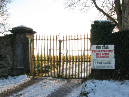 Annefield Housegates/railings/walls · 680 yd
 Enclosure in Boleymeelagh,cregduff (kilmaine By., Kilcommon Par.)Enclosure · 753 yd
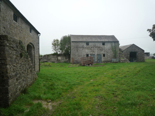 Bushfieldfarmyard complex · 1045 yd
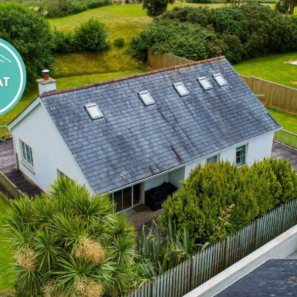 IndicatedFairy fort / earthen ringfort · 1118 yd
 Castle in ruinsCastle, unclassified · 1.7 mi
 Bunacrower CastleCastle · 2.6 mi
 European YewEuropean Yew · 3.8 mi
 SycamoreSycamore · 4.0 mi
 Mass RockNamed rock · 9.0 mi
 School of FalconryHeritage attraction · 11 mi
 Oileán na nAnamIslet · 11 mi
 Inis Mhic an TrírIsland · 12 mi
Other information
Photo: Credit not shown in the picture search · Rights wording not checked; contact us if this picture should be removed